MyTopo
Woodmansie New Jersey US Topo Map
Couldn't load pickup availability
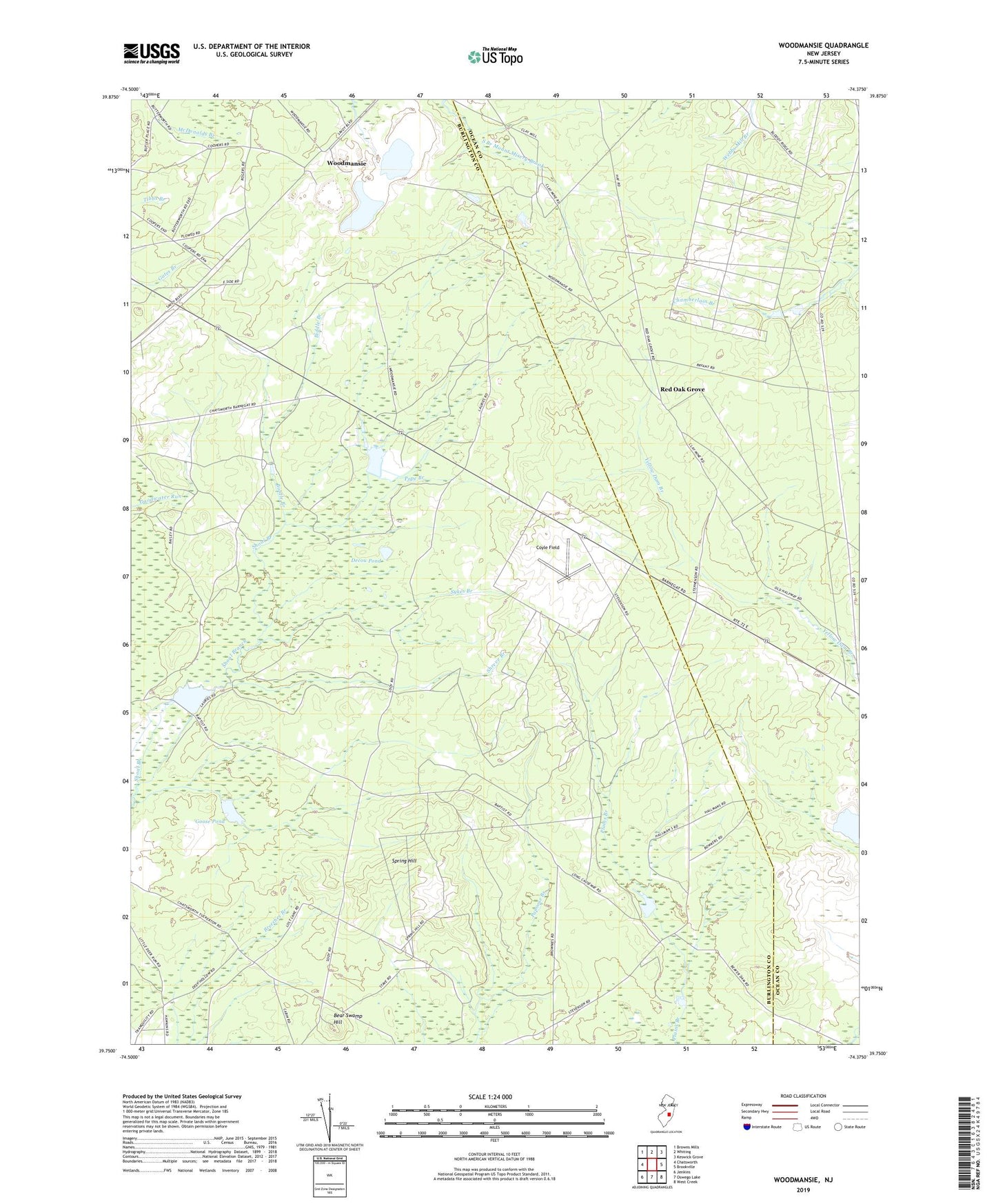
2019 topographic map quadrangle Woodmansie in the state of New Jersey. Scale: 1:24000. Based on the newly updated USGS 7.5' US Topo map series, this map is in the following counties: Burlington, Ocean. The map contains contour data, water features, and other items you are used to seeing on USGS maps, but also has updated roads and other features. This is the next generation of topographic maps. Printed on high-quality waterproof paper with UV fade-resistant inks.
Quads adjacent to this one:
West: Chatsworth
Northwest: Browns Mills
North: Whiting
Northeast: Keswick Grove
East: Brookville
Southeast: West Creek
South: Oswego Lake
Southwest: Jenkins
Contains the following named places: Bear Swamp Hill, Biddle Branch, Coyle Field, Decou Pond, Goodwater Run, Goose Pond, Greenwood Forest Wildlife Management Area, Lentine South Airport, Long Causeway, Off Road Vehicle Park Ambulance, Old Halfway, Pope Branch, Red Oak Grove, Shreve Branch, Spring Hill, Sykes Branch, Woodmansie