MyTopo
Cherokee Valley New Mexico US Topo Map
Couldn't load pickup availability
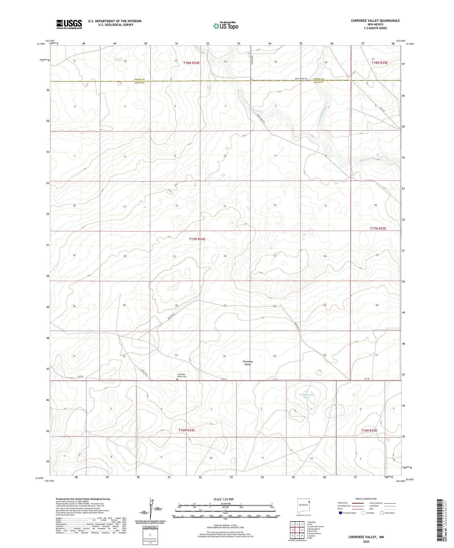
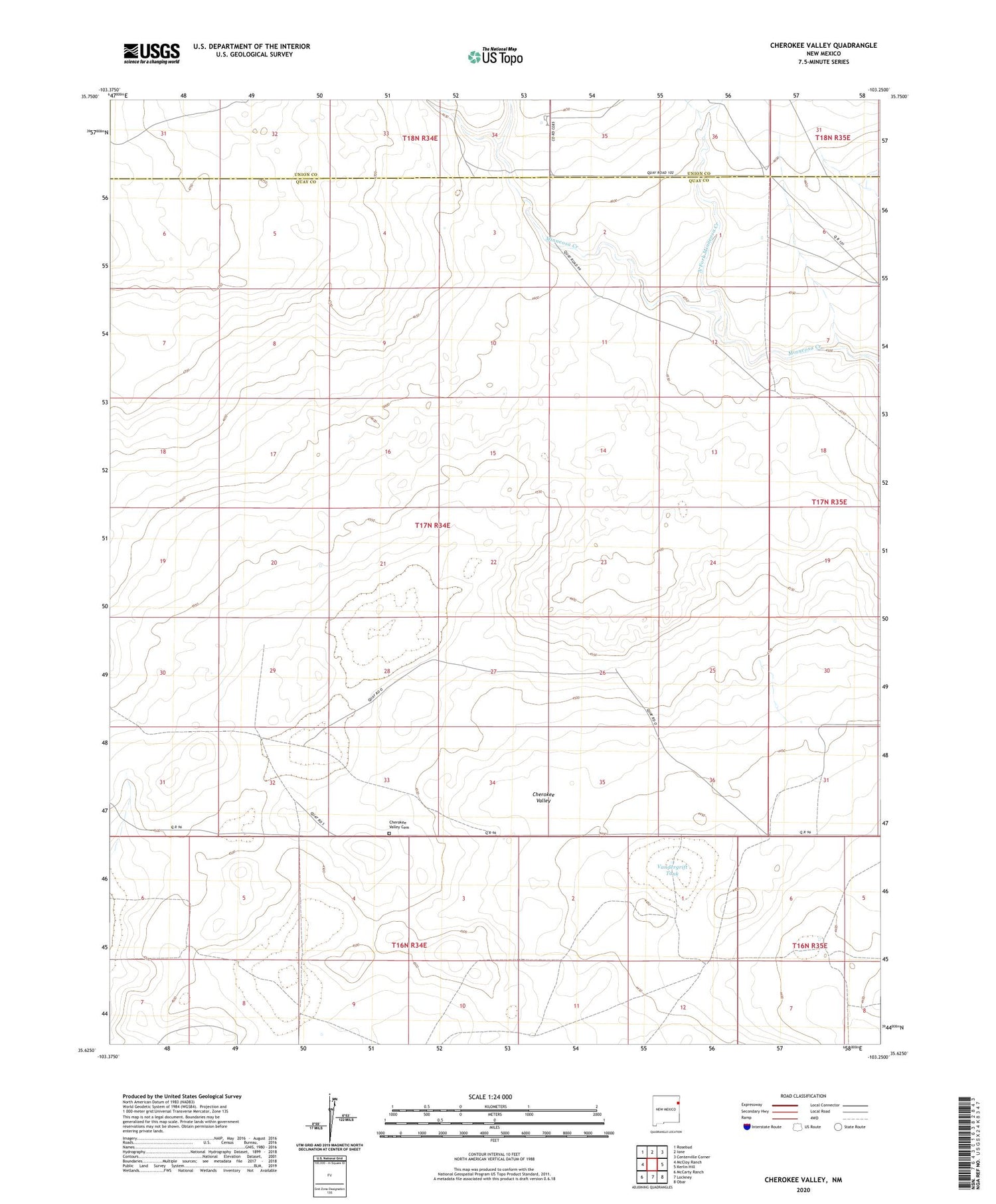
2020 topographic map quadrangle Cherokee Valley in the state of New Mexico. Scale: 1:24000. Based on the newly updated USGS 7.5' US Topo map series, this map is in the following counties: Quay, Union, Harding. The map contains contour data, water features, and other items you are used to seeing on USGS maps, but also has updated roads and other features. This is the next generation of topographic maps. Printed on high-quality waterproof paper with UV fade-resistant inks.
Quads adjacent to this one:
West: McCloy Ranch
Northwest: Rosebud
North: Ione
Northeast: Centerville Corner
East: Kerlin Hill
Southeast: Obar
South: Lockney
Southwest: McCarty Ranch
Contains the following named places: 00202 Water Well, 05286 Water Well, 05287 Water Well, 05318 Water Well, 05319 Water Well, 05320 Water Well, 05321 Water Well, 05322 Water Well, 05324 Water Well, 05325 Water Well, 05326 Water Well, 05328 Water Well, 05340 Water Well, 05354 Water Well, 05359 Water Well, 05442 Water Well, 05443 Water Well, 05444 Water Well, Alford Well, Arnold Well, Burks Ranch, Cammack, Campbell Well, Cherokee Valley, Cherokee Valley Cemetery, Dessum Well, Faus Well, Garrett Well, Graveyard Well, Haufman, Holcolm Well, Johnson, Johnson Ranch, Johnson Well, Kaufman Ranch, Kuper, North Fork Minneosa Creek, Red Windmill, Robertson, Sand Hill Windmill, Smith-Cox Well, South Well, Stoner Well, Van Wart Well, Vandergrift Tank, Waller Well