MyTopo
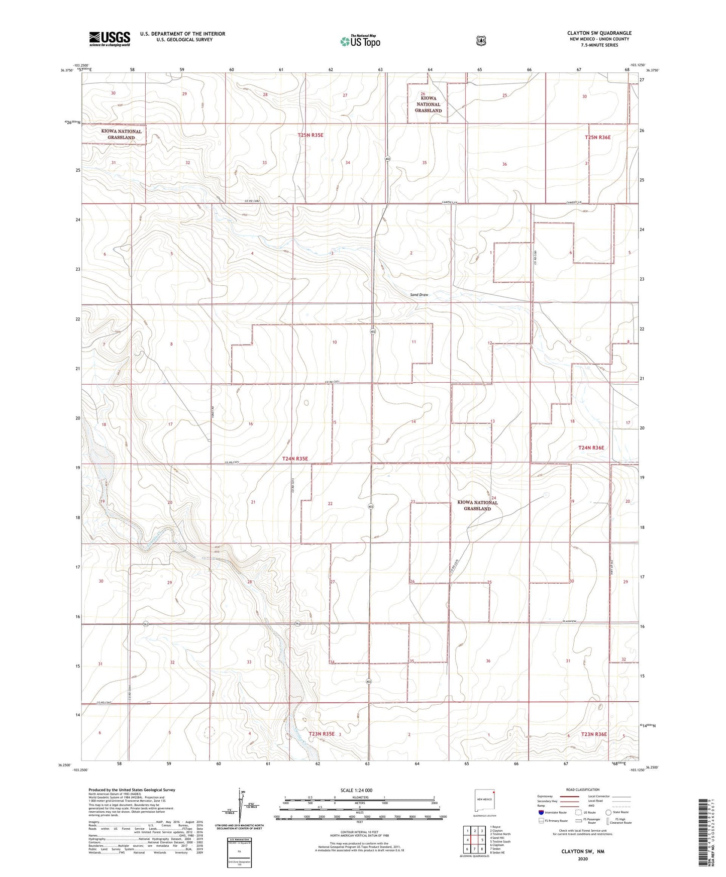
Clayton SW New Mexico US Topo Map
Couldn't load pickup availability
Also explore the Clayton SW Forest Service Topo of this same quad for updated USFS data
2023 topographic map quadrangle Clayton SW in the state of New Mexico. Scale: 1:24000. Based on the newly updated USGS 7.5' US Topo map series, this map is in the following counties: Union. The map contains contour data, water features, and other items you are used to seeing on USGS maps, but also has updated roads and other features. This is the next generation of topographic maps. Printed on high-quality waterproof paper with UV fade-resistant inks.
Quads adjacent to this one:
West: Sand Hill
Northwest: Royce
North: Clayton
Southeast: Sedan NE
South: Sedan
Southwest: Clapham
This map covers the same area as the classic USGS quad with code o36103c2.
Contains the following named places: Atkinson Cattle Pit, Bates, Bates Windmill, Walker, Webster