MyTopo
Curlew Lake New Mexico US Topo Map
Couldn't load pickup availability
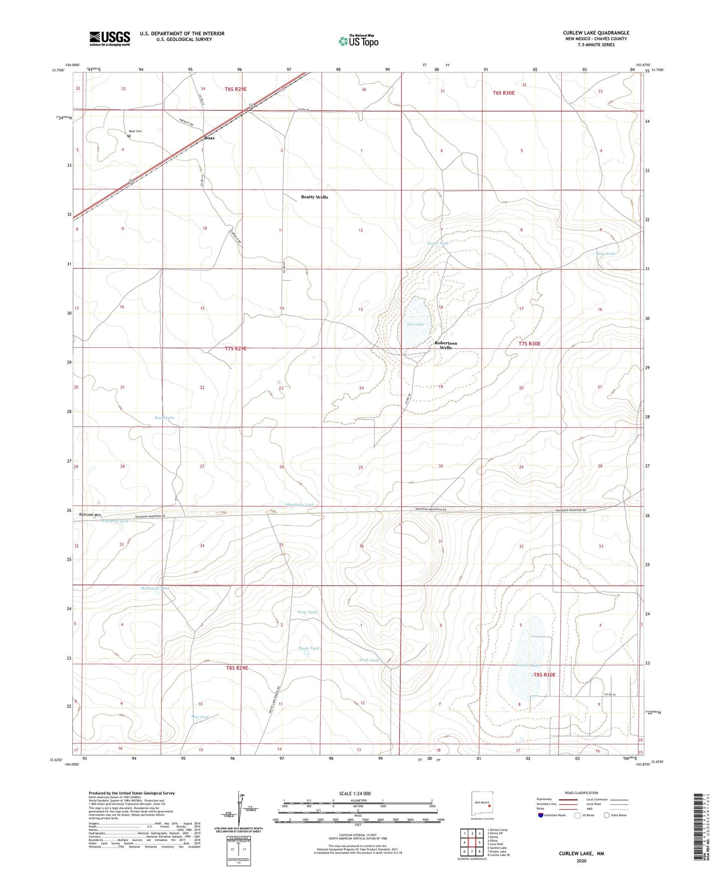
2020 topographic map quadrangle Curlew Lake in the state of New Mexico. Scale: 1:24000. Based on the newly updated USGS 7.5' US Topo map series, this map is in the following counties: Chaves. The map contains contour data, water features, and other items you are used to seeing on USGS maps, but also has updated roads and other features. This is the next generation of topographic maps. Printed on high-quality waterproof paper with UV fade-resistant inks.
Quads adjacent to this one:
West: Elkins
Northwest: Denton Camp
North: Kenna SW
Northeast: Kenna
East: Lone Wolf
Southeast: Curlew Lake SE
South: Presler Lake
Southwest: Sardine Lake
Contains the following named places: Beatty Wells, Boaz, Boaz Cemetery, Boaz Post Office, Curlew Lake, Deep Tank, Doyle Tank, East Tank, Grub Tank, Highway Tank, Keggy Well, Mac Tank, McCarter Well, McDowell Tank, Mountain Tank, North Tank, Railroad Mountain, Road Lake, Robertson Wells, Salt Lake, Savage Well, Shorty Well, South Well