MyTopo
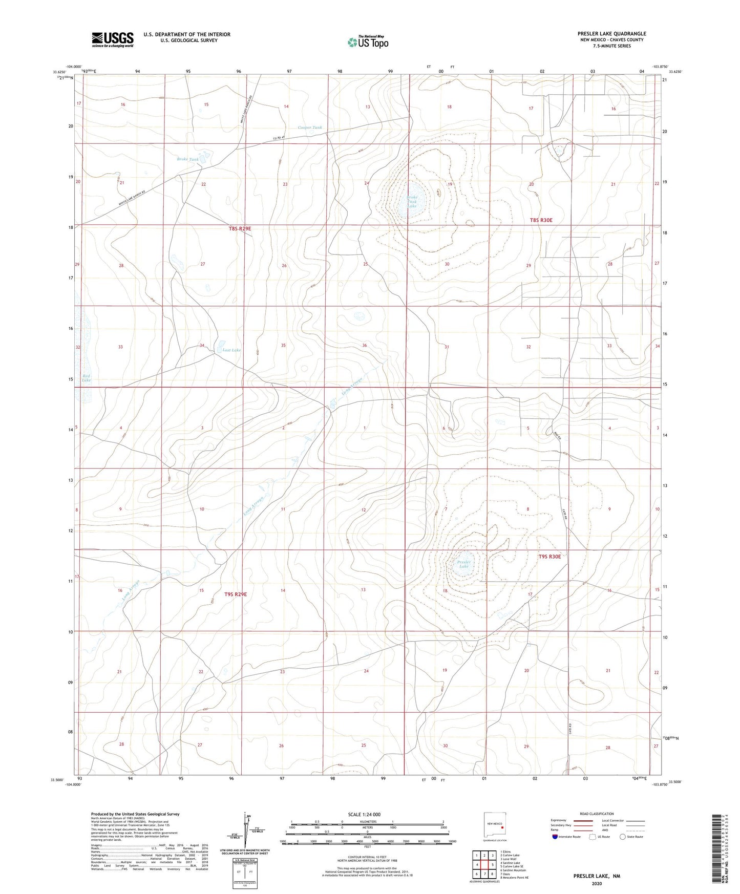
Presler Lake New Mexico US Topo Map
Couldn't load pickup availability
2023 topographic map quadrangle Presler Lake in the state of New Mexico. Scale: 1:24000. Based on the newly updated USGS 7.5' US Topo map series, this map is in the following counties: Chaves. The map contains contour data, water features, and other items you are used to seeing on USGS maps, but also has updated roads and other features. This is the next generation of topographic maps. Printed on high-quality waterproof paper with UV fade-resistant inks.
Quads adjacent to this one:
West: Sardine Lake
Northwest: Elkins
North: Curlew Lake
Northeast: Lone Wolf
East: Curlew Lake SE
Southeast: Mescalero Point NE
South: Oasis
Southwest: Sardine Mountain
This map covers the same area as the classic USGS quad with code o33103e8.
Contains the following named places: Broke Tank, Broke Tank Lake, Cooper Tank, East Camp, Lost Lake, Presler Lake