
MyTopo
Dog Mountains New Mexico US Topo Map
Couldn't load pickup availability
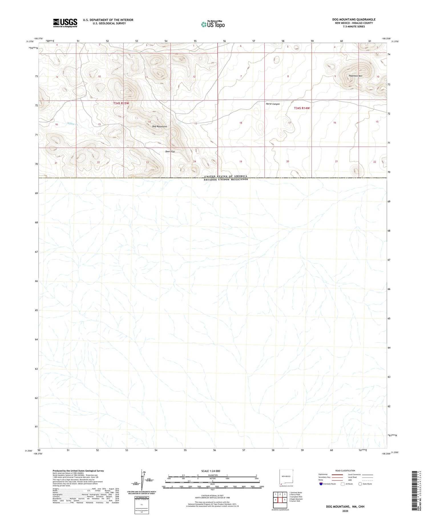
2023 topographic map quadrangle Dog Mountains in the state of New Mexico. Scale: 1:24000. Based on the newly updated USGS 7.5' US Topo map series, this map is in the following counties: Hidalgo. The map contains contour data, water features, and other items you are used to seeing on USGS maps, but also has updated roads and other features. This is the next generation of topographic maps. Printed on high-quality waterproof paper with UV fade-resistant inks.
Quads adjacent to this one:
West: Eagle Mountain
Northwest: Sentinel Butte
North: Pierce Peak
Northeast: Campbell Well
East: Corner Well
This map covers the same area as the classic USGS quad with code o31108c3.
Contains the following named places: Deer Flat, Dog Mountains, Dog Spring Ranch, Haystack Mountain, Horse Canyon


