MyTopo
Fort Sumner West New Mexico US Topo Map
Couldn't load pickup availability
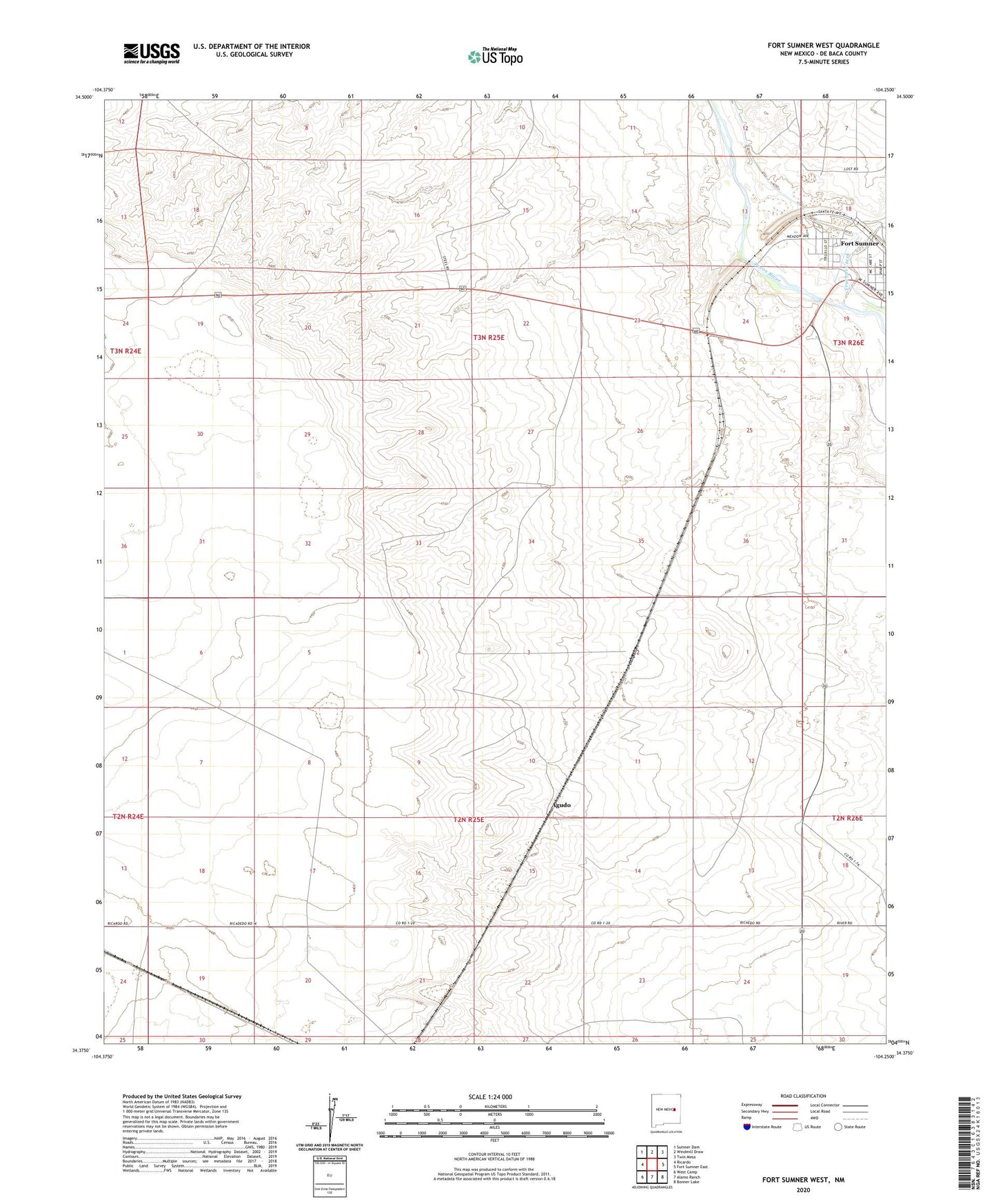
2020 topographic map quadrangle Fort Sumner West in the state of New Mexico. Scale: 1:24000. Based on the newly updated USGS 7.5' US Topo map series, this map is in the following counties: De Baca. The map contains contour data, water features, and other items you are used to seeing on USGS maps, but also has updated roads and other features. This is the next generation of topographic maps. Printed on high-quality waterproof paper with UV fade-resistant inks.
Quads adjacent to this one:
West: Ricardo
Northwest: Sumner Dam
North: Windmill Draw
Northeast: Twin Mesa
East: Fort Sumner East
Southeast: Bonner Lake
South: Alamo Ranch
Southwest: West Camp
Contains the following named places: Agudo, Agudo Post Office, Bays Windmill, Corner Windmill, Cortez Pit, Goldberg Windmill, Hudson Windmill, Jensen Well, Martinez Windmill, McCollum Ranch, New Eclipse Windmill, New Windmill, North Pitts Windmill, North Windmill, Sand Windmill, South Pitts Windmill, Steele Ranch, Truchas Creek, Vaughn Ranch