MyTopo
Alamo Ranch New Mexico US Topo Map
Couldn't load pickup availability
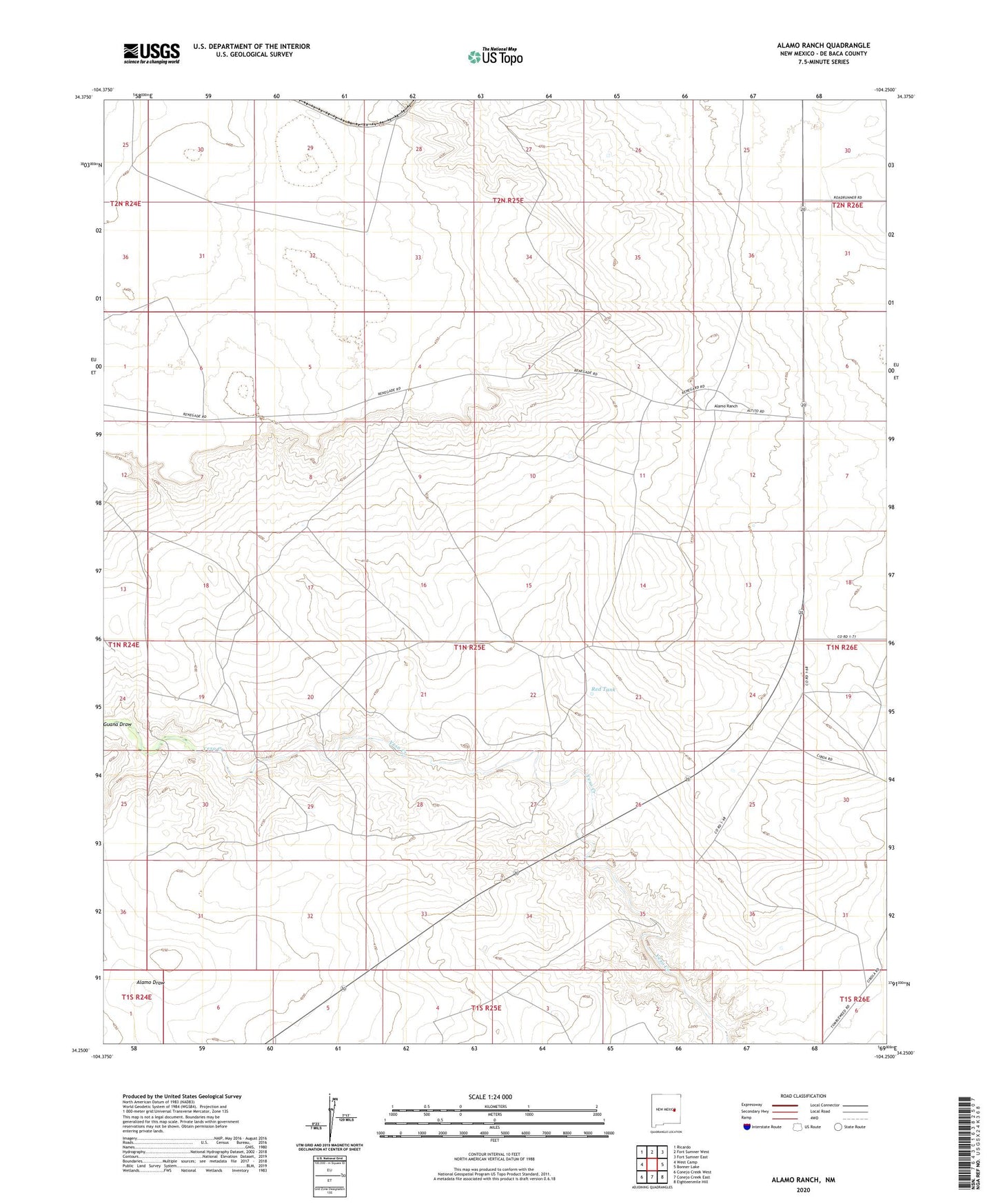
2023 topographic map quadrangle Alamo Ranch in the state of New Mexico. Scale: 1:24000. Based on the newly updated USGS 7.5' US Topo map series, this map is in the following counties: De Baca. The map contains contour data, water features, and other items you are used to seeing on USGS maps, but also has updated roads and other features. This is the next generation of topographic maps. Printed on high-quality waterproof paper with UV fade-resistant inks.
Quads adjacent to this one:
West: West Camp
Northwest: Ricardo
North: Fort Sumner West
Northeast: Fort Sumner East
East: Bonner Lake
Southeast: Eighteenmile Hill
South: Conejo Creek East
Southwest: Conejo Creek West
This map covers the same area as the classic USGS quad with code o34104c3.
Contains the following named places: 10019 Water Well, 10081 Water Well, 10082 Water Well, 10083 Water Well, 10084 Water Well, 10085 Water Well, 10086 Water Well, 10087 Water Well, 10089 Water Well, 10166 Water Well, 10176 Water Well, 10177 Water Well, 10178 Water Well, Alamo Ranch, Buck Tank, Buck Windmill, Highway Windmill, Line Windmill, Miles Windmill, Old South Windmill, Orchard Windmill, Pennington Well, Rabbit Windmill, Red Sand Windmill, Red Tank, Star Windmill