MyTopo
Fruitland New Mexico US Topo Map
Couldn't load pickup availability
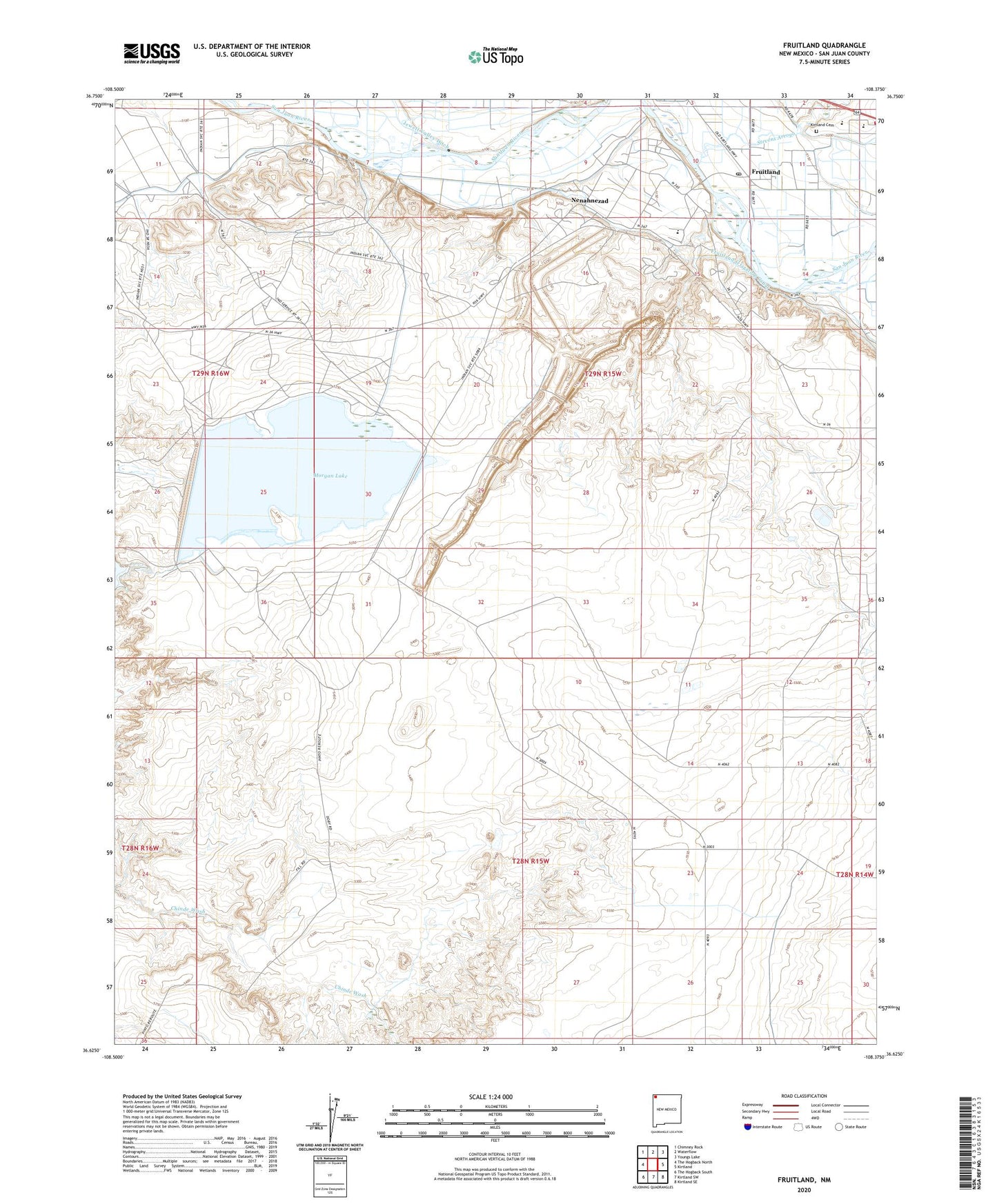
2020 topographic map quadrangle Fruitland in the state of New Mexico. Scale: 1:24000. Based on the newly updated USGS 7.5' US Topo map series, this map is in the following counties: San Juan. The map contains contour data, water features, and other items you are used to seeing on USGS maps, but also has updated roads and other features. This is the next generation of topographic maps. Printed on high-quality waterproof paper with UV fade-resistant inks.
Quads adjacent to this one:
West: The Hogback North
Northwest: Chimney Rock
North: Waterflow
Northeast: Youngs Lake
East: Kirtland
Southeast: Kirtland SE
South: Kirtland SW
Southwest: The Hogback South
Contains the following named places: Brigham Young Junior House Historic Site, CGP-56 Historic Site, Farmers Mutual Ditch, Four Corners Powerplant, Fruitland, Fruitland Census Designated Place, Fruitland Irrigation Canal, Fruitland Post Office, Fruitland Trading Company, Fruitland Weather Station, Kirtland Cemetery, Lookout Mine, Morgan Dam, Morgan Lake, Navajo Mine, Navajo Strip, Nenahnezad, Nenahnezad Census Designated Place, Nenahnezad Chapter House, Nenahnezad Indian School, Nenahnezad School, Ojo Amarillo Elementary School, Richey Pit, San Juan Pit, Stevens Arroyo, Wilson School, ZIP Code: 87416