MyTopo
Gate Canyon New Mexico US Topo Map
Couldn't load pickup availability
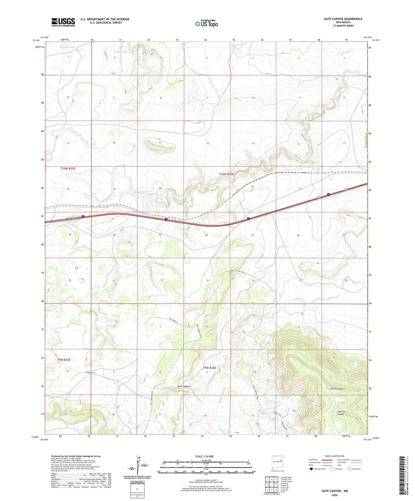
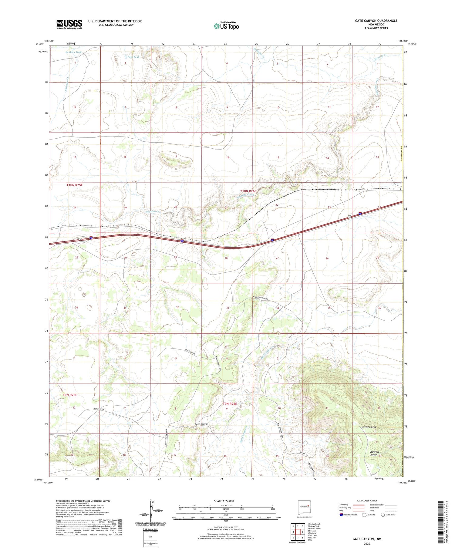
2020 topographic map quadrangle Gate Canyon in the state of New Mexico. Scale: 1:24000. Based on the newly updated USGS 7.5' US Topo map series, this map is in the following counties: Guadalupe, Quay. The map contains contour data, water features, and other items you are used to seeing on USGS maps, but also has updated roads and other features. This is the next generation of topographic maps. Printed on high-quality waterproof paper with UV fade-resistant inks.
Quads adjacent to this one:
West: Newkirk
Northwest: Neafus Ranch
North: Ortega Tank
Northeast: Muniz Canyon
East: Montoya
Southeast: Ima
South: Ima NW
Southwest: Salt Lake
Contains the following named places: De Baca Tank, Gate Canyon, Knowles Windmill, Martinez Windmill, Orchard Windmill, Pass Tank, Roman Camp, Sparks Windmill, T-4 Ranch