MyTopo
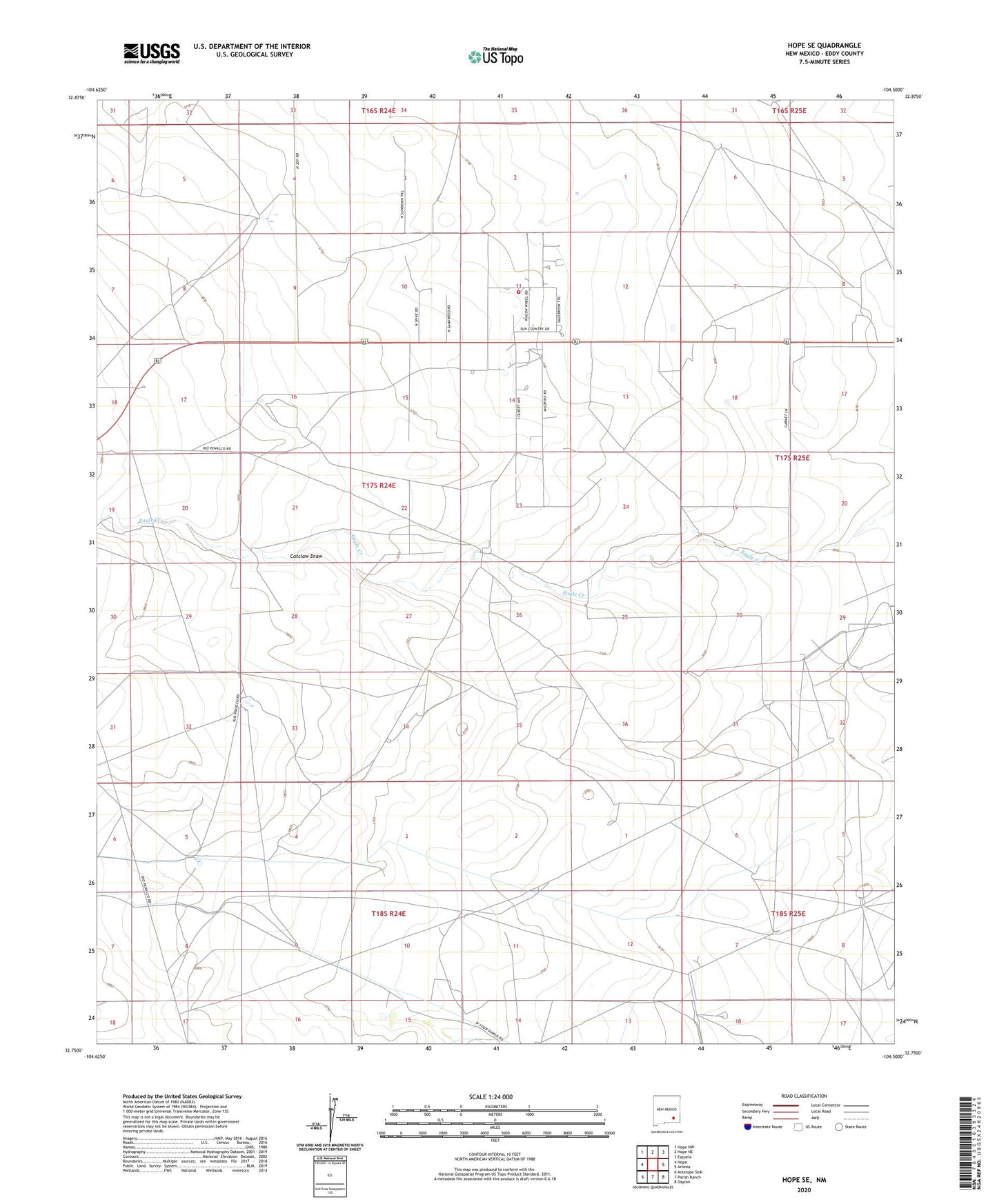
Hope SE New Mexico US Topo Map
Couldn't load pickup availability
2023 topographic map quadrangle Hope SE in the state of New Mexico. Scale: 1:24000. Based on the newly updated USGS 7.5' US Topo map series, this map is in the following counties: Eddy. The map contains contour data, water features, and other items you are used to seeing on USGS maps, but also has updated roads and other features. This is the next generation of topographic maps. Printed on high-quality waterproof paper with UV fade-resistant inks.
Quads adjacent to this one:
West: Hope
Northwest: Hope NW
North: Hope NE
Northeast: Espuela
East: Artesia
Southeast: Dayton
South: Parish Ranch
Southwest: Antelope Sink
This map covers the same area as the classic USGS quad with code o32104g5.
Contains the following named places: Artesia Division, Catclaw Draw, Eaton Ranch, Eaton Well, Laney Ranch, Laney Well, Old Horner Place, Section Six Well, South West Well, Sun Country Volunteer Fire Department Station 1, Willar Well