MyTopo
La Vida Mission New Mexico US Topo Map
Couldn't load pickup availability
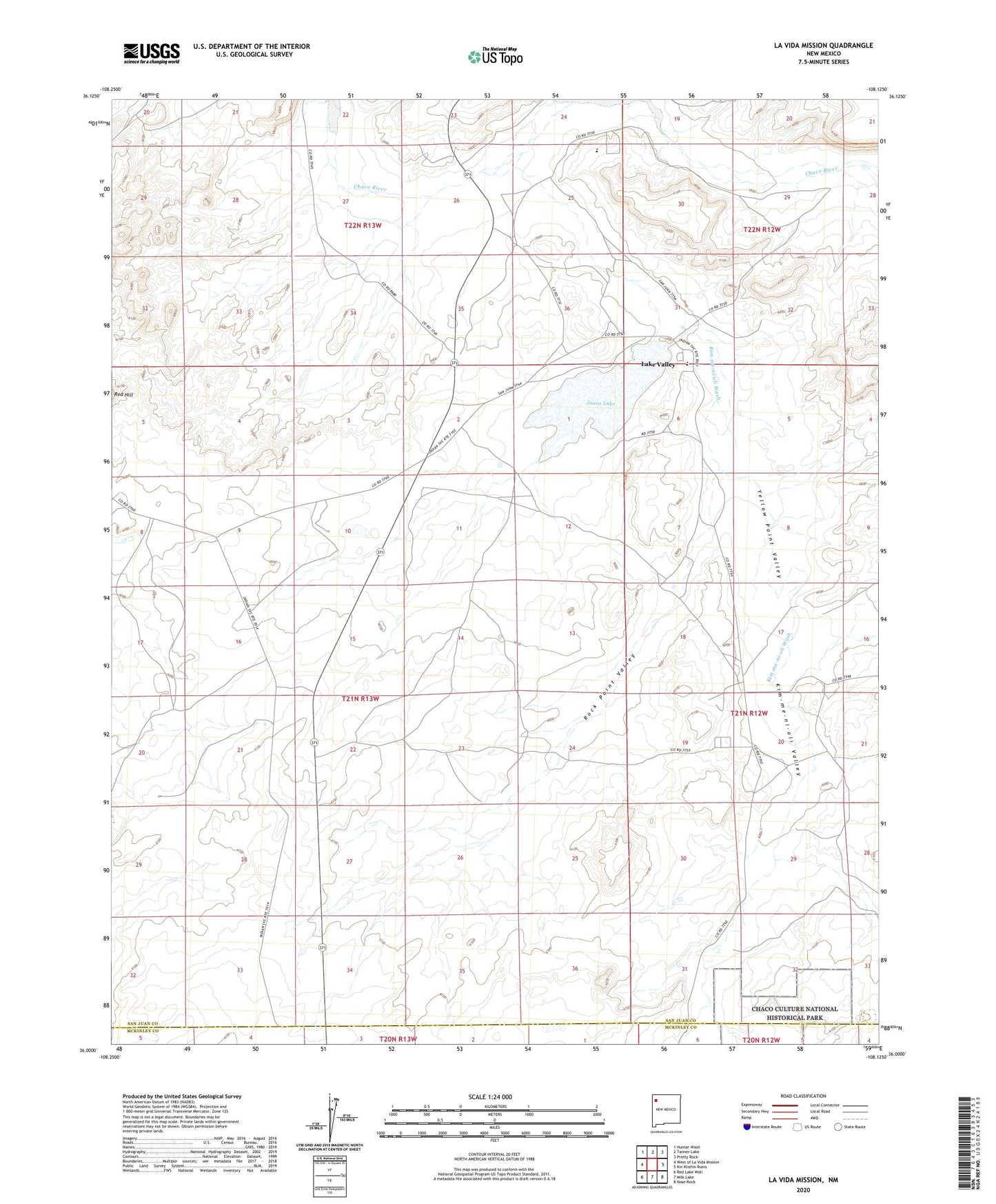
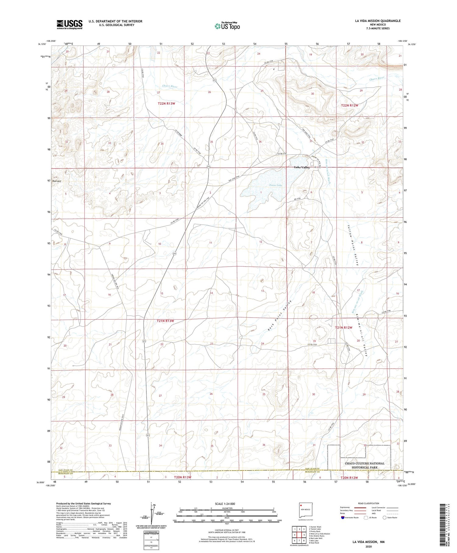
2020 topographic map quadrangle La Vida Mission in the state of New Mexico. Scale: 1:24000. Based on the newly updated USGS 7.5' US Topo map series, this map is in the following counties: San Juan, McKinley. The map contains contour data, water features, and other items you are used to seeing on USGS maps, but also has updated roads and other features. This is the next generation of topographic maps. Printed on high-quality waterproof paper with UV fade-resistant inks.
Quads adjacent to this one:
West: West of La Vida Mission
Northwest: Hunter Wash
North: Tanner Lake
Northeast: Pretty Rock
East: Kin Klizhin Ruins
Southeast: Nose Rock
South: Milk Lake
Southwest: Red Lake Well
Contains the following named places: 15B-25 Water Well, 15K-337 Water Well, Juans Lake, Juans Vicente Lake Dam, Kim-me-ni-oli Ruins, Kim-me-ni-oli Valley, Kim-me-ni-oli Wash, Lake Valley, Lake Valley Boarding School, Lake Valley Census Designated Place, Lake Valley Chapter, Lake Valley Chapter House, Lake Valley Historic Site, LaVida Mission, Rock Point Valley, Tsaya Trading Post, Yellow Point Valley