MyTopo
Milk Lake New Mexico US Topo Map
Couldn't load pickup availability
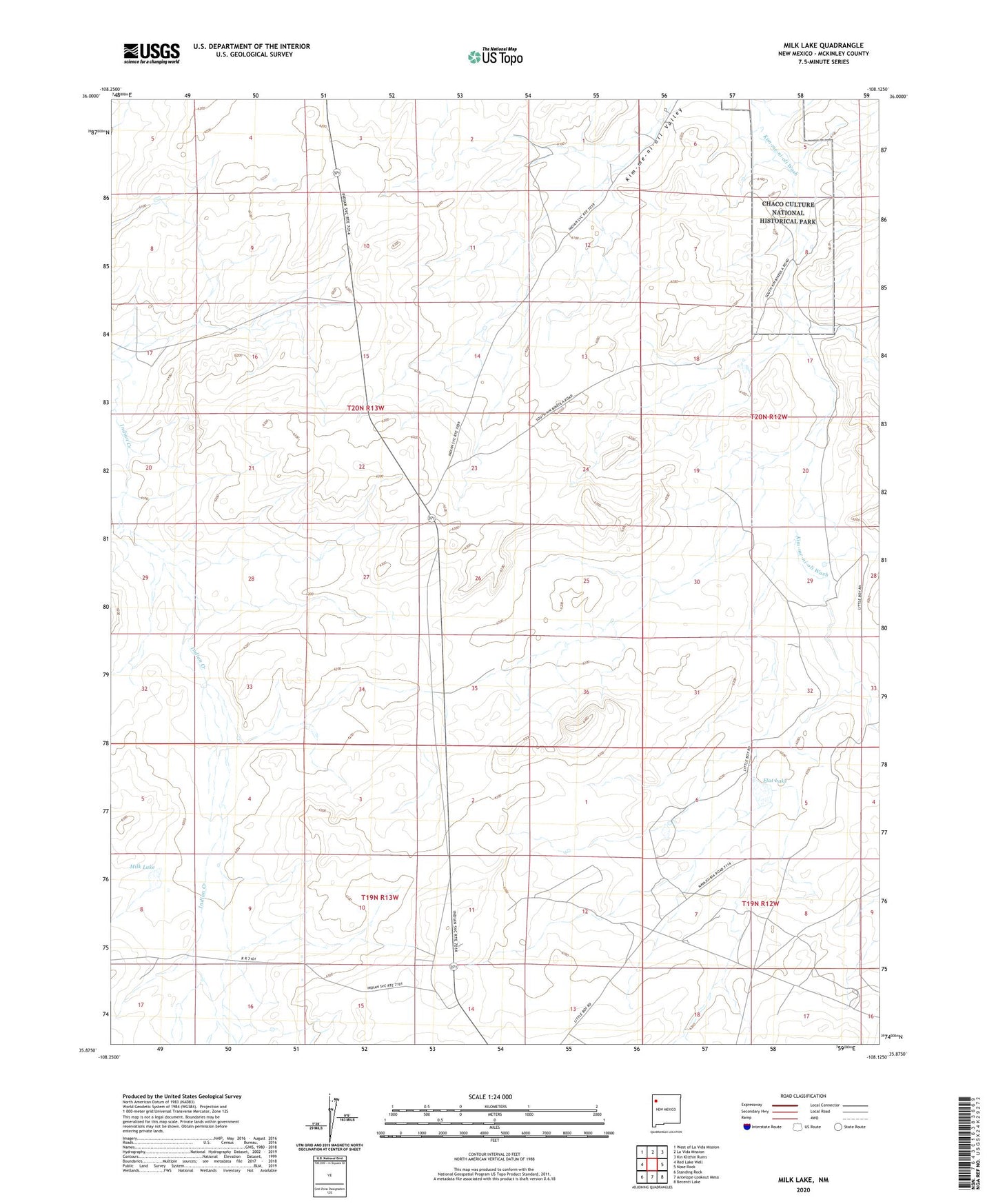
2023 topographic map quadrangle Milk Lake in the state of New Mexico. Scale: 1:24000. Based on the newly updated USGS 7.5' US Topo map series, this map is in the following counties: McKinley. The map contains contour data, water features, and other items you are used to seeing on USGS maps, but also has updated roads and other features. This is the next generation of topographic maps. Printed on high-quality waterproof paper with UV fade-resistant inks.
Quads adjacent to this one:
West: Red Lake Well
Northwest: West of La Vida Mission
North: La Vida Mission
Northeast: Kin Klizhin Ruins
East: Nose Rock
Southeast: Becenti Lake
South: Antelope Lookout Mesa
Southwest: Standing Rock
This map covers the same area as the classic USGS quad with code o35108h2.
Contains the following named places: Becenti Chapter, Flat Lake, I K Ranch, IK-10 Water Well, IKW-4 Water Well, Milk Lake, SJ-254 Water Well, Windmill Number 2, Windmill Number 3, Windmill Number 4