MyTopo
Lang Canyon New Mexico US Topo Map
Couldn't load pickup availability
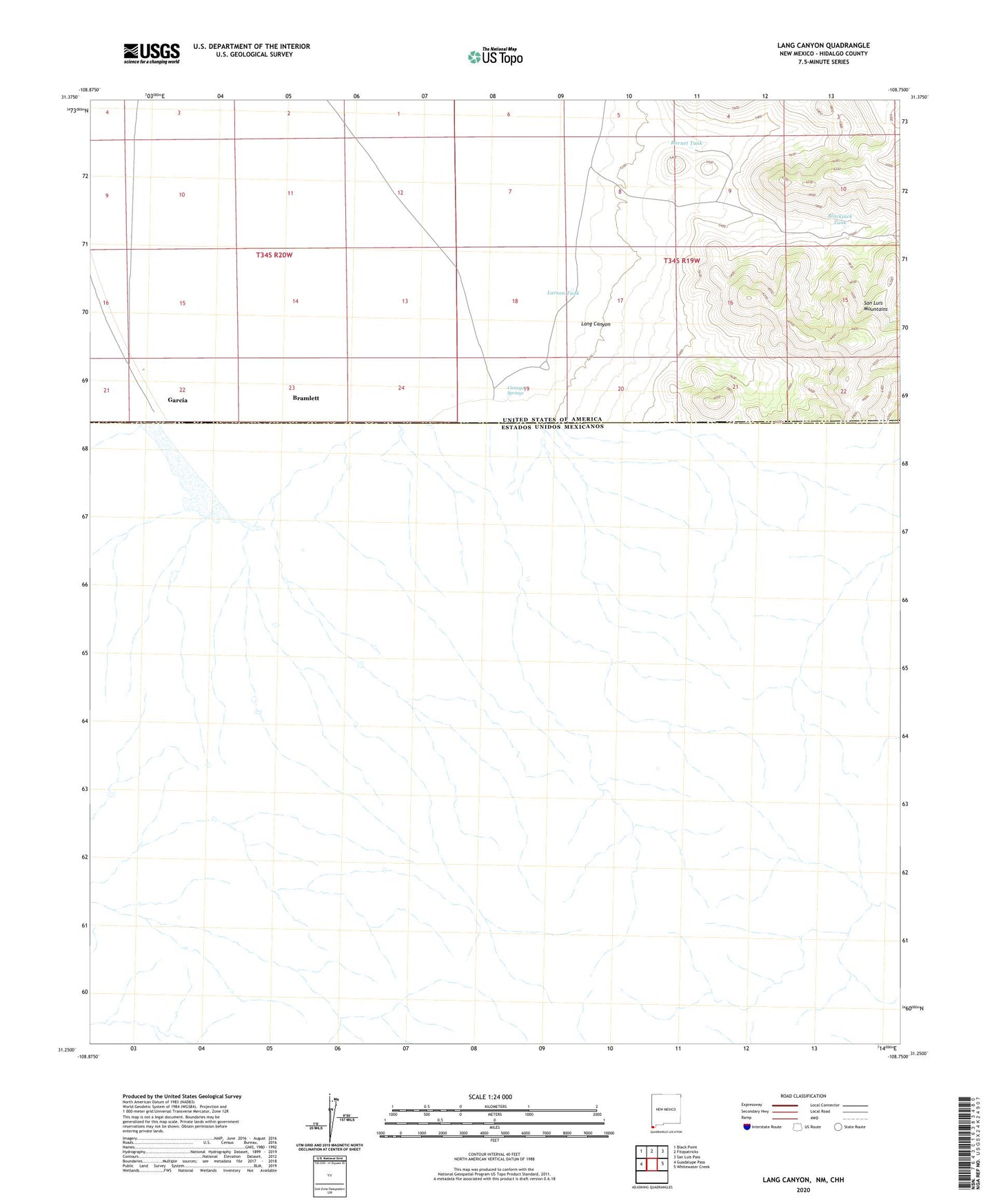
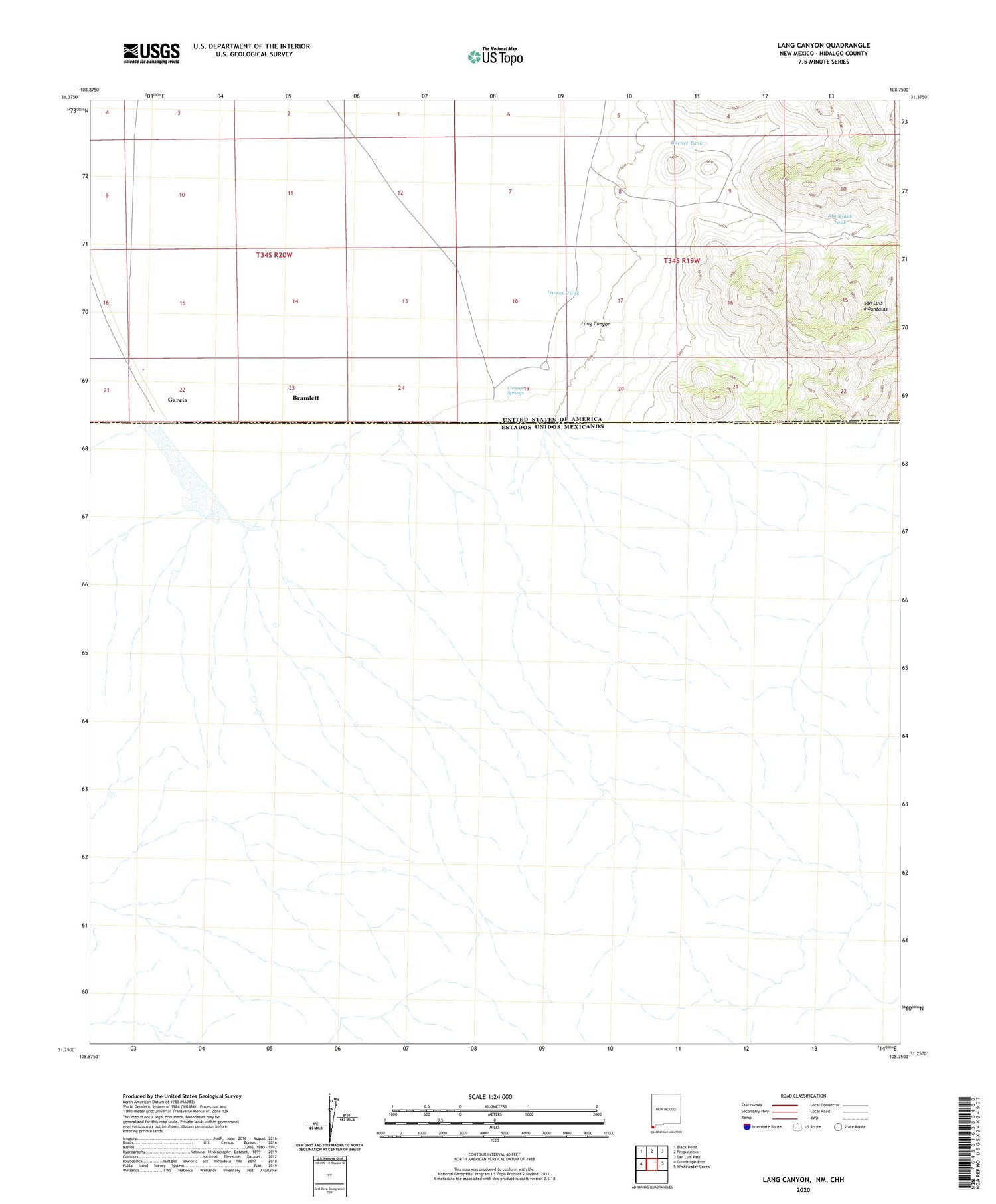
2020 topographic map quadrangle Lang Canyon in the state of New Mexico. Scale: 1:24000. Based on the newly updated USGS 7.5' US Topo map series, this map is in the following counties: Hidalgo. The map contains contour data, water features, and other items you are used to seeing on USGS maps, but also has updated roads and other features. This is the next generation of topographic maps. Printed on high-quality waterproof paper with UV fade-resistant inks.
Quads adjacent to this one:
West: Guadalupe Pass
Northwest: Black Point
North: Fitzpatricks
Northeast: San Luis Pass
East: Whitewater Creek
Contains the following named places: Barnet Tank, Blackjack Tank, Bramlett, Bramlett Post Office, Cienega Springs, Garcia, Garcia Post Office, Lang Canyon, Lang Ranch, Larson Tank, San Luis Mountains