MyTopo
McVeigh Hills New Mexico US Topo Map
Couldn't load pickup availability
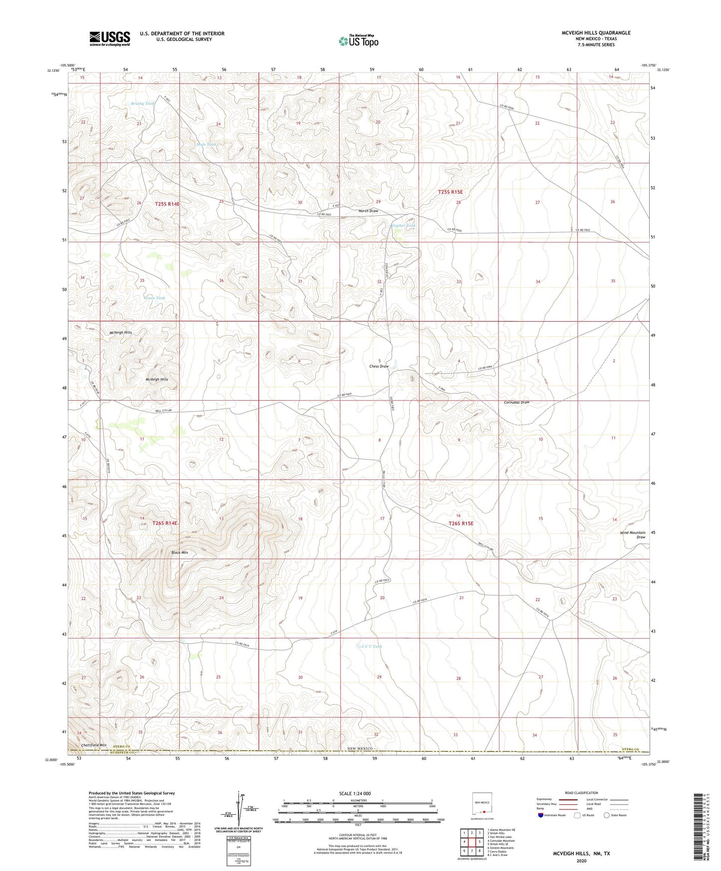
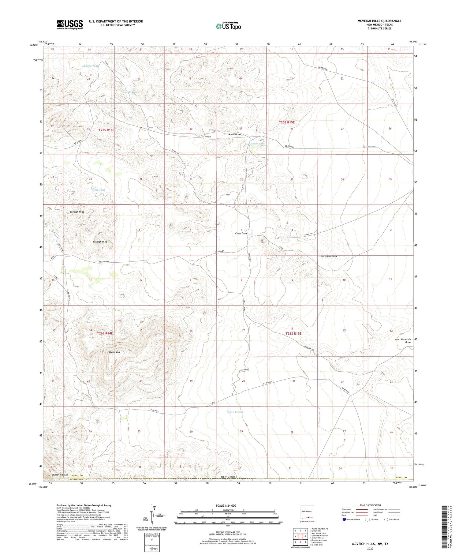
2020 topographic map quadrangle McVeigh Hills in the state of New Mexico. Scale: 1:24000. Based on the newly updated USGS 7.5' US Topo map series, this map is in the following counties: Otero, Hudspeth. The map contains contour data, water features, and other items you are used to seeing on USGS maps, but also has updated roads and other features. This is the next generation of topographic maps. Printed on high-quality waterproof paper with UV fade-resistant inks.
Quads adjacent to this one:
West: Cornudas Mountain
Northwest: Alamo Mountain NE
North: Shiloh Hills
Northeast: Van Winkle Lake
East: Shiloh Hills SE
Southeast: C And L Draw
South: Cerro Diablo
Southwest: Sixteen Mountains
Contains the following named places: Alton Jones Ranch, Bill Jones Ranch, Black Mountain, Brushy Tank, C C C Tank, Chess Draw, Gopher Tank, Green Tank, McVeigh Hills, Mule Tank