MyTopo
Shiloh Hills SE New Mexico US Topo Map
Couldn't load pickup availability
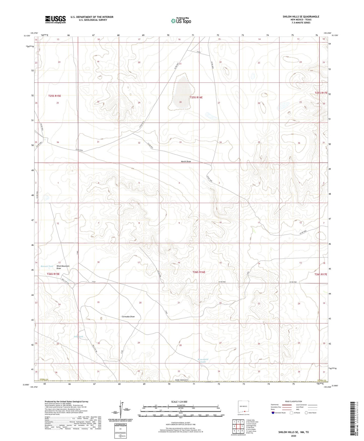
2023 topographic map quadrangle Shiloh Hills SE in the state of New Mexico. Scale: 1:24000. Based on the newly updated USGS 7.5' US Topo map series, this map is in the following counties: Otero, Hudspeth. The map contains contour data, water features, and other items you are used to seeing on USGS maps, but also has updated roads and other features. This is the next generation of topographic maps. Printed on high-quality waterproof paper with UV fade-resistant inks.
Quads adjacent to this one:
West: McVeigh Hills
Northwest: Shiloh Hills
North: Van Winkle Lake
Northeast: Lewis Canyon
East: Culp Draw
Southeast: Dell City
South: C And L Draw
Southwest: Cerro Diablo
Contains the following named places: AAA Tank, Bennett Ranch, Bennett Tank, Brownfield Tanks, Martin Lewis Well, McArron Ranch, Sweet William Well, Tree Well, Wind Mountain Draw