MyTopo
Ojo Caliente Reservoir New Mexico US Topo Map
Couldn't load pickup availability
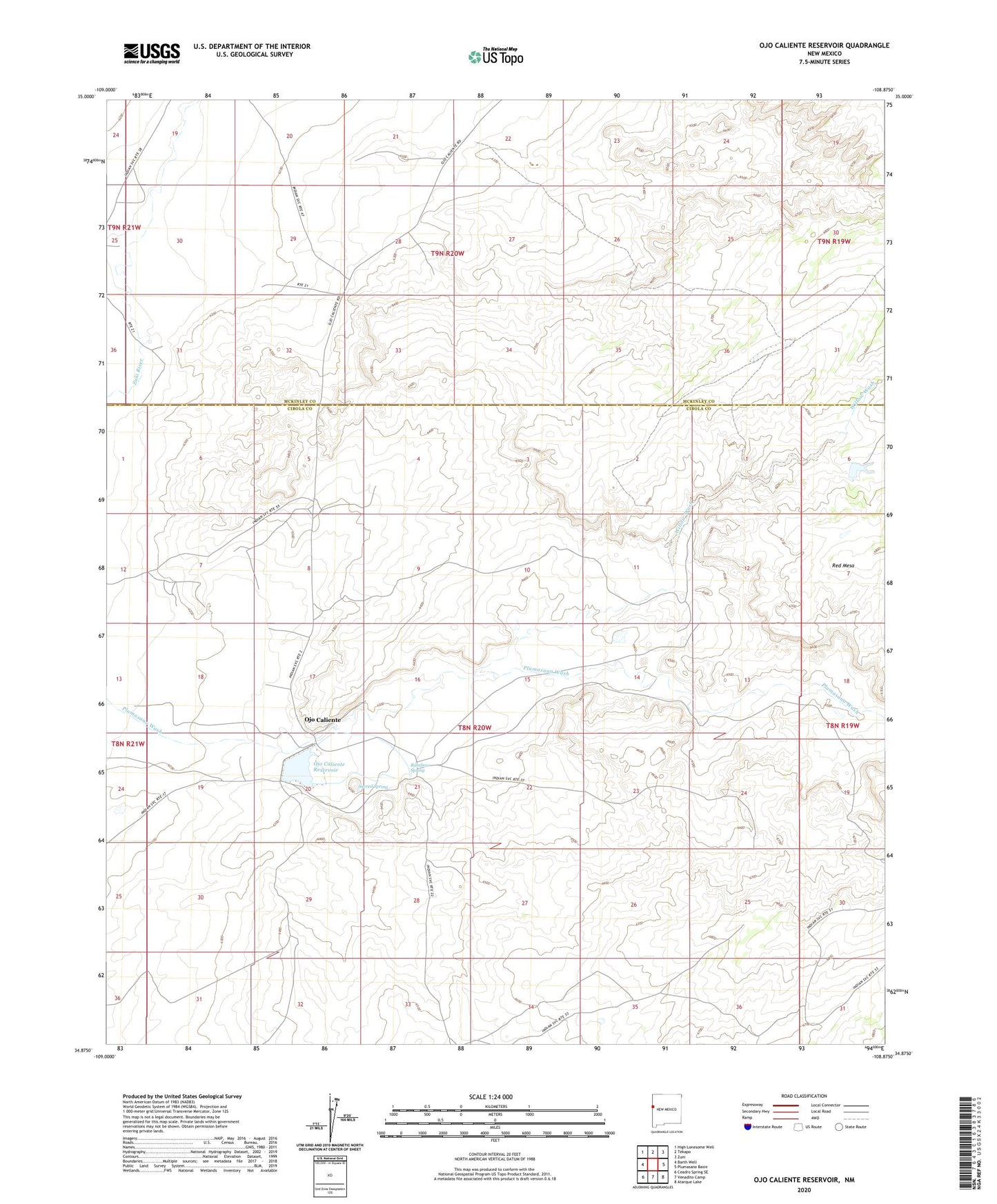
2023 topographic map quadrangle Ojo Caliente Reservoir in the state of New Mexico. Scale: 1:24000. Based on the newly updated USGS 7.5' US Topo map series, this map is in the following counties: Cibola, McKinley. The map contains contour data, water features, and other items you are used to seeing on USGS maps, but also has updated roads and other features. This is the next generation of topographic maps. Printed on high-quality waterproof paper with UV fade-resistant inks.
Quads adjacent to this one:
West: Barth Well
Northwest: High Lonesome Well
North: Tekapo
Northeast: Zuni
East: Plumasano Basin
Southeast: Atarque Lake
South: Venadito Camp
Southwest: Ceadro Spring SE
This map covers the same area as the classic USGS quad with code o34108h8.
Contains the following named places: Hinkson Ranch Pueblo Historic Site, Jaralosa Pueblo Historic Site, Ojo Caliente, Ojo Caliente Lake Dam, Ojo Caliente Reservoir, Rainbow Spring, Sacred Spring, Willow Wash