MyTopo
Pedernal Creek New Mexico US Topo Map
Couldn't load pickup availability
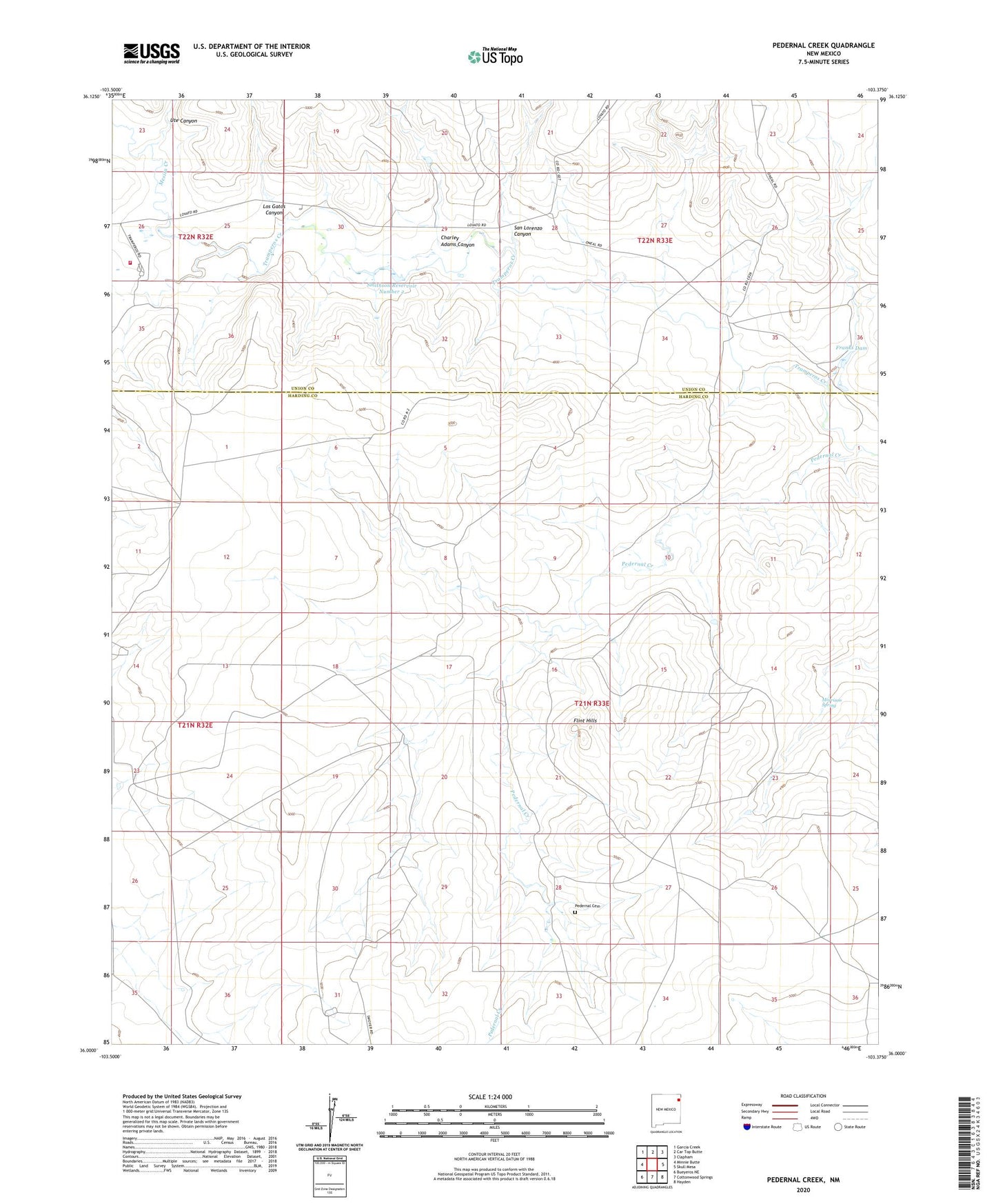
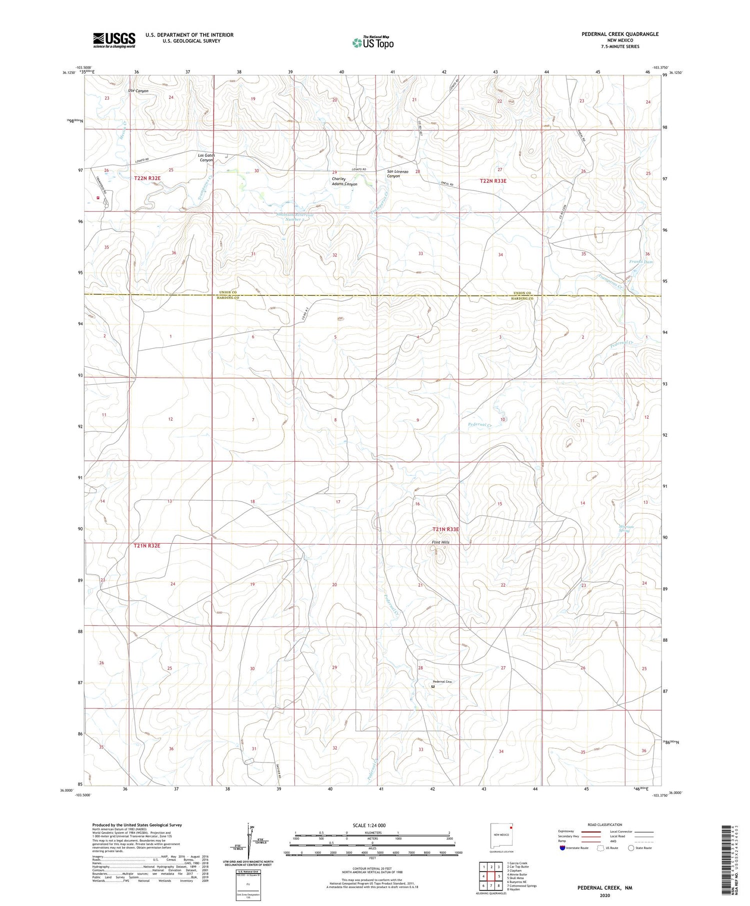
2020 topographic map quadrangle Pedernal Creek in the state of New Mexico. Scale: 1:24000. Based on the newly updated USGS 7.5' US Topo map series, this map is in the following counties: Harding, Union. The map contains contour data, water features, and other items you are used to seeing on USGS maps, but also has updated roads and other features. This is the next generation of topographic maps. Printed on high-quality waterproof paper with UV fade-resistant inks.
Quads adjacent to this one:
West: Minnie Butte
Northwest: Garcia Creek
North: Car Top Butte
Northeast: Clapham
East: Skull Mesa
Southeast: Hayden
South: Cottonwood Springs
Southwest: Bueyeros NE
Contains the following named places: Charley Adams Canyon, Flint Hills, Franks Dam, Gean Well, Line Well, Los Gatos Canyon, Mesita Creek, Morrison Spring, North Gallegos Well, North Well, Pedernal Cemetery, Pedernal Creek, Rodger Well, Rosebud Fire and Rescue Station 2, San Lorenzo Canyon, Smithson Four Reservoir Dam, Smithson One Reservoir Dam, Smithson Reservoir Number 2, Smithson Reservoir Number 2 Dam, Smithson Three Reservoir Dam, Ute Canyon, West Well