
MyTopo
Puerto Creek New Mexico US Topo Map
Couldn't load pickup availability
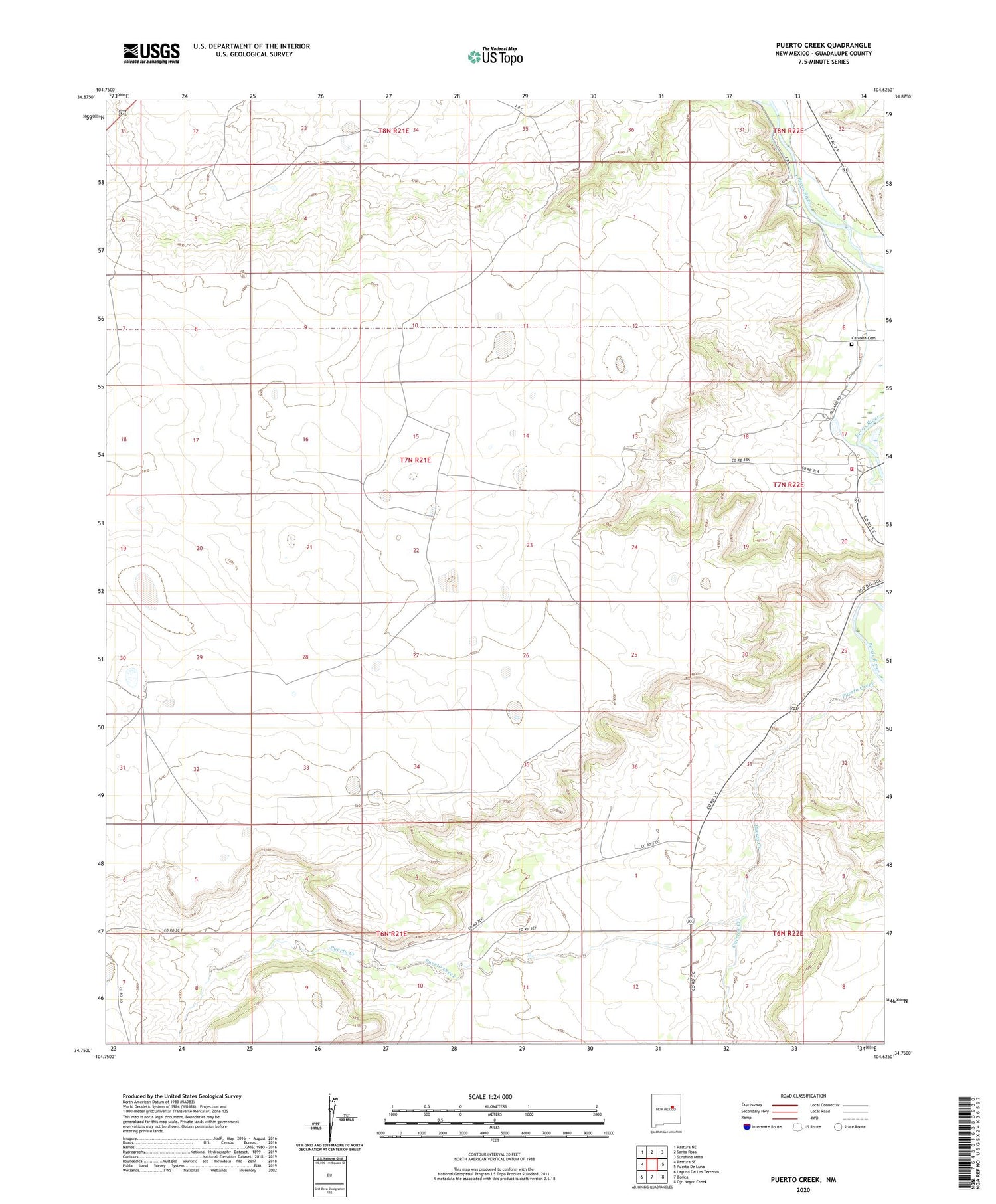
2020 topographic map quadrangle Puerto Creek in the state of New Mexico. Scale: 1:24000. Based on the newly updated USGS 7.5' US Topo map series, this map is in the following counties: Guadalupe. The map contains contour data, water features, and other items you are used to seeing on USGS maps, but also has updated roads and other features. This is the next generation of topographic maps. Printed on high-quality waterproof paper with UV fade-resistant inks.
Quads adjacent to this one:
West: Pastura SE
Northwest: Pastura NE
North: Santa Rosa
Northeast: Sunshine Mesa
East: Puerto De Luna
Southeast: Ojo Negro Creek
South: Borica
Southwest: Laguna De Los Terreros
Contains the following named places: Agua Negra Grant, Calvoria Cemetery, Carrizo Creek, East Puerto De Luna Ditch, Grzelachowski House Historic Site, Guadalupe Courthouse Historic Site, Puerto de Luna School, Puerto de Luna Volunteer Fire Department Main Station, Rio Agua Negra, Saiaz, West Puerto De Luna Ditch


