MyTopo
Ranger Lake New Mexico US Topo Map
Couldn't load pickup availability
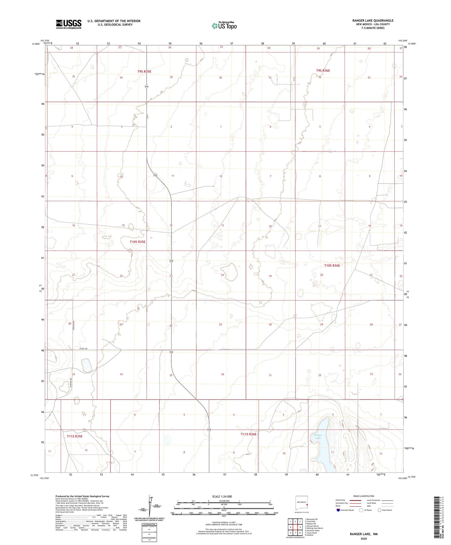
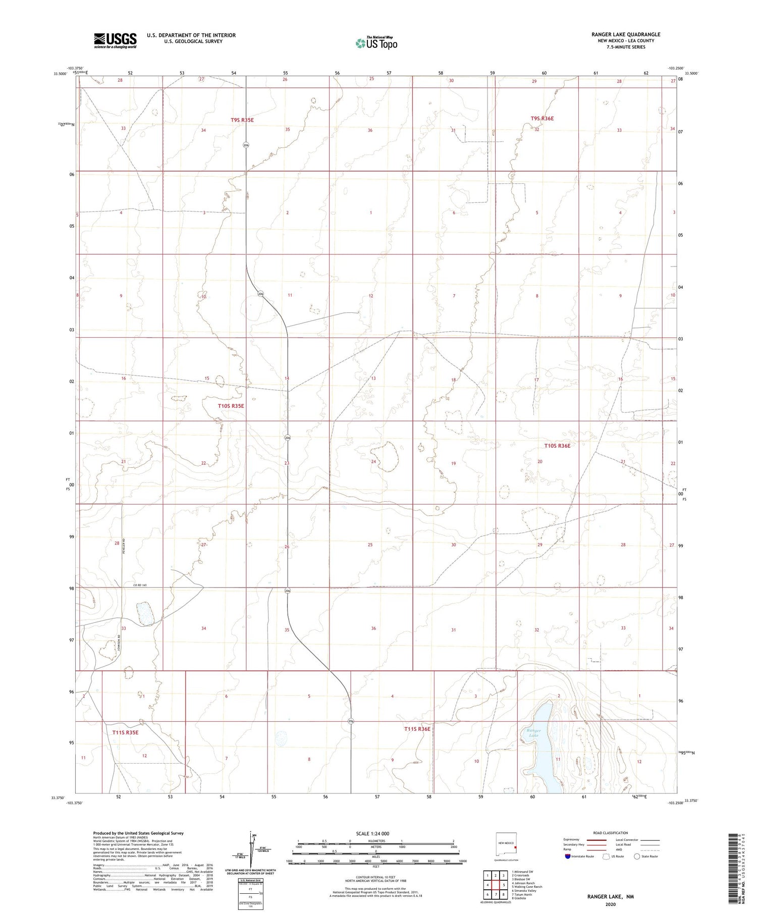
2020 topographic map quadrangle Ranger Lake in the state of New Mexico. Scale: 1:24000. Based on the newly updated USGS 7.5' US Topo map series, this map is in the following counties: Lea. The map contains contour data, water features, and other items you are used to seeing on USGS maps, but also has updated roads and other features. This is the next generation of topographic maps. Printed on high-quality waterproof paper with UV fade-resistant inks.
Quads adjacent to this one:
West: Johnson Ranch
Northwest: Milnesand SW
North: Crossroads
Northeast: Bledsoe SW
East: Walking Cane Ranch
Southeast: Gladiola
South: Tatum North
Southwest: Simanola Valley
Contains the following named places: 05019 Water Well, 12548 Water Well, 12601 Water Well, 12602 Water Well, 12603 Water Well, 12604 Water Well, 12605 Water Well, 12606 Water Well, 12609 Water Well, 12612 Water Well, 12613 Water Well, 12794 Water Well, 12795 Water Well, 12796 Water Well, 12797 Water Well, 12841 Water Well, 12867 Water Well, 12868 Water Well, 12869 Water Well, 12872 Water Well, 12873 Water Well, 13176 Water Well, 13177 Water Well, 13389 Water Well, 13393 Water Well, Bull Windmill, Crossroads Television Relay Mast, East Windmill, Mixon Windmill, New Windmill, North Pasture Windmill, North Windmill, Ranger Lake, Ranger Lake Windmill, West Windmill