MyTopo
Ricardo New Mexico US Topo Map
Couldn't load pickup availability
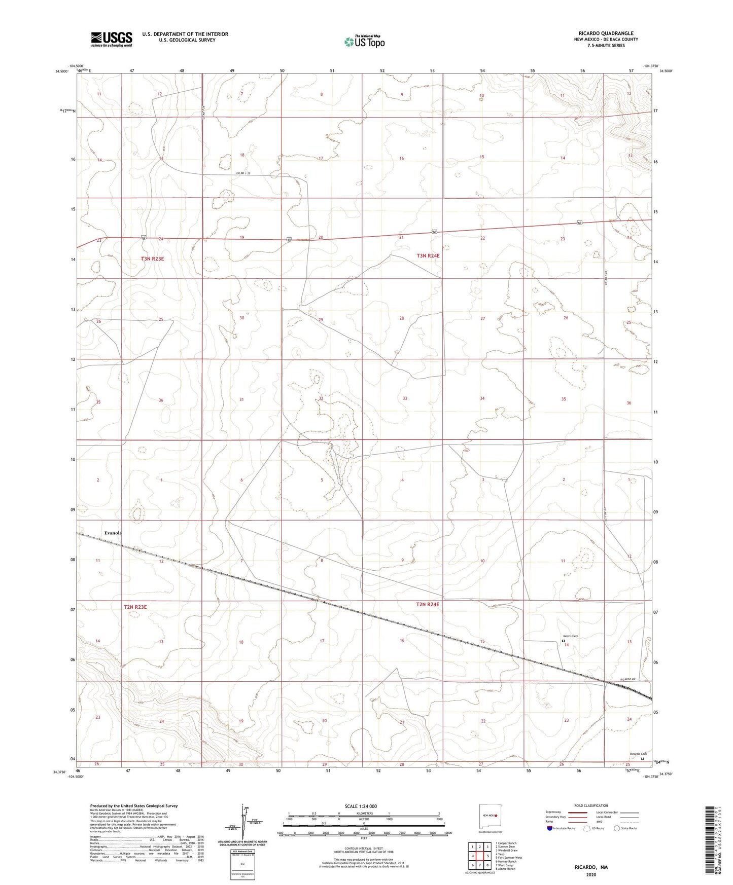
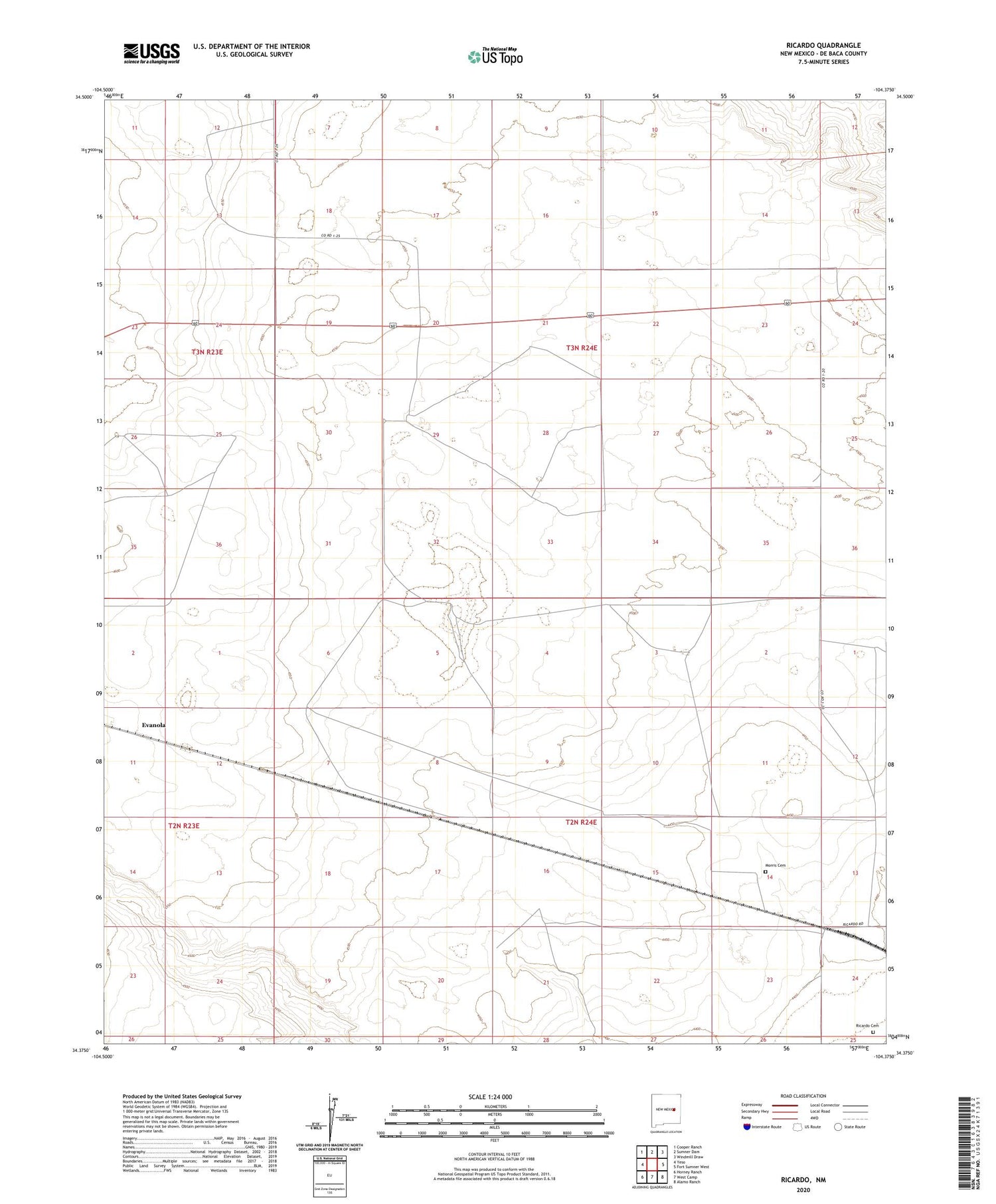
2020 topographic map quadrangle Ricardo in the state of New Mexico. Scale: 1:24000. Based on the newly updated USGS 7.5' US Topo map series, this map is in the following counties: De Baca. The map contains contour data, water features, and other items you are used to seeing on USGS maps, but also has updated roads and other features. This is the next generation of topographic maps. Printed on high-quality waterproof paper with UV fade-resistant inks.
Quads adjacent to this one:
West: Yeso
Northwest: Cooper Ranch
North: Sumner Dam
Northeast: Windmill Draw
East: Fort Sumner West
Southeast: Alamo Ranch
South: West Camp
Southwest: Horney Ranch
Contains the following named places: Bertie Windmill, Borrow Pit, Evanola, Evanola Windmill, McMeans Ranch, Morris Cemetery, My Windmill, Northeast Windmill, Old Place Windmill, Railroad Windmill, Ricardo, Ricardo Cemetery, Ricardo Post Office, Rocky Windmill, South Windmill, Southeast Windmill, Twin Wells, West Windmill