MyTopo
Sagebrush Valley East New Mexico US Topo Map
Couldn't load pickup availability
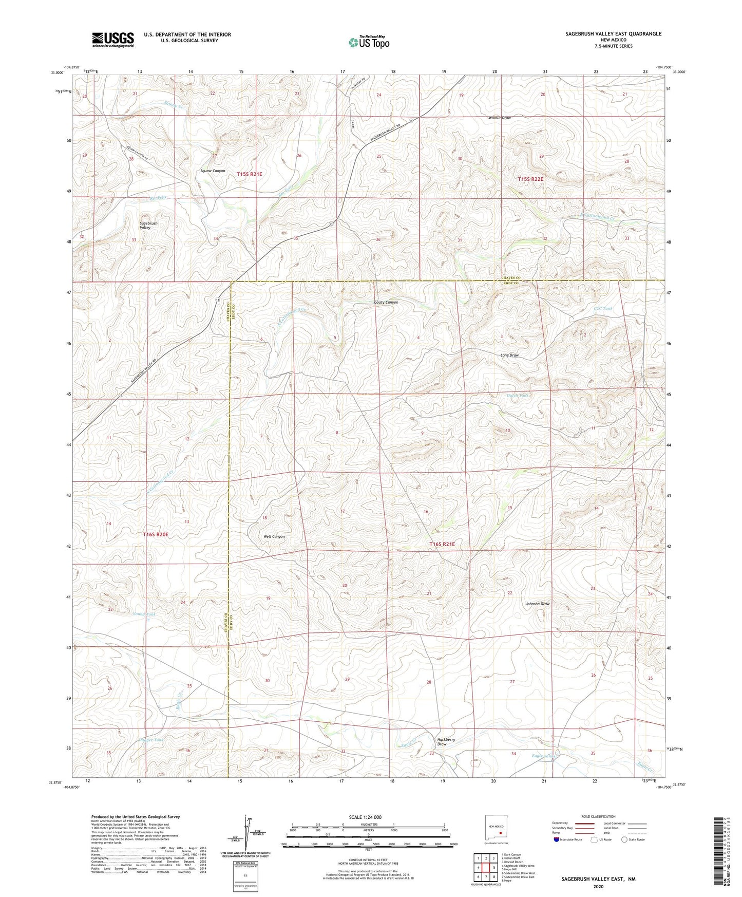
2020 topographic map quadrangle Sagebrush Valley East in the state of New Mexico. Scale: 1:24000. Based on the newly updated USGS 7.5' US Topo map series, this map is in the following counties: Chaves, Eddy. The map contains contour data, water features, and other items you are used to seeing on USGS maps, but also has updated roads and other features. This is the next generation of topographic maps. Printed on high-quality waterproof paper with UV fade-resistant inks.
Quads adjacent to this one:
West: Sagebrush Valley West
Northwest: Dark Canyon
North: Indian Bluff
Northeast: Kincaid Ranch
East: Hope NW
Southeast: Hope
South: Sixteenmile Draw East
Southwest: Sixteenmile Draw West
Contains the following named places: CCC Tank, Dagger Tank, Dutch Tank, Eagle Tanks, Goaty Canyon, Hackberry Draw, Johnson Ditch, McAshan Ranch, Nester Well, Runyan Ranch, Sagebrush Valley, Squaw Canyon, Squaw Creek, Young Tank