MyTopo
Sixteenmile Draw West New Mexico US Topo Map
Couldn't load pickup availability
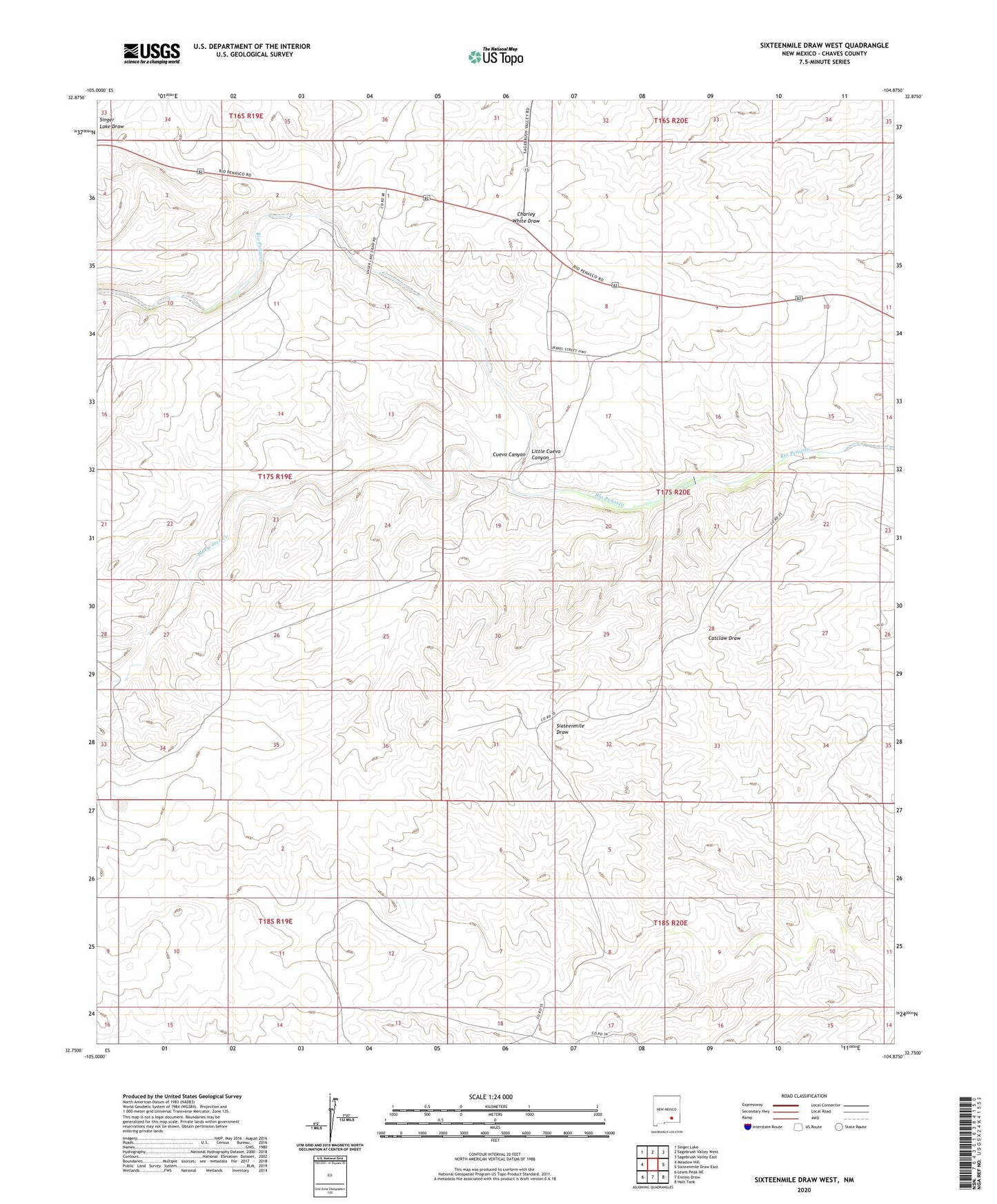
2023 topographic map quadrangle Sixteenmile Draw West in the state of New Mexico. Scale: 1:24000. Based on the newly updated USGS 7.5' US Topo map series, this map is in the following counties: Chaves. The map contains contour data, water features, and other items you are used to seeing on USGS maps, but also has updated roads and other features. This is the next generation of topographic maps. Printed on high-quality waterproof paper with UV fade-resistant inks.
Quads adjacent to this one:
West: Meadow Hill
Northwest: Singer Lake
North: Sagebrush Valley West
Northeast: Sagebrush Valley East
East: Sixteenmile Draw East
Southeast: Holt Tank
South: Encino Draw
Southwest: Lewis Peak NE
This map covers the same area as the classic USGS quad with code o32104g8.
Contains the following named places: Bluewater Creek, Cauhape Ranch, Cauhape Teel Windmill, Cuevo Canyon, Frenchman Lake, Hope Retard Dam, Little Cuevo Canyon