MyTopo
Sauble Circle Dot Ranch New Mexico US Topo Map
Couldn't load pickup availability
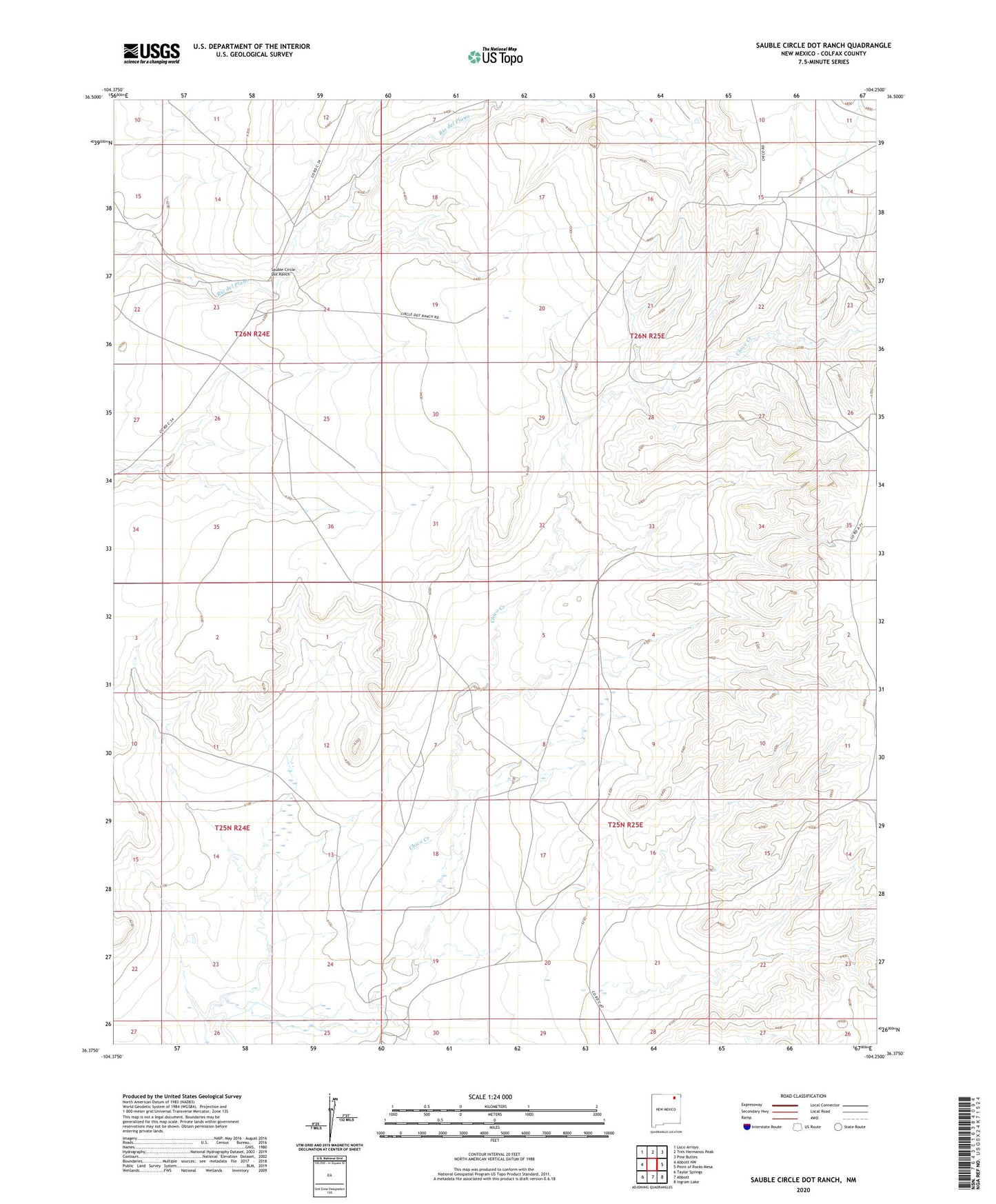
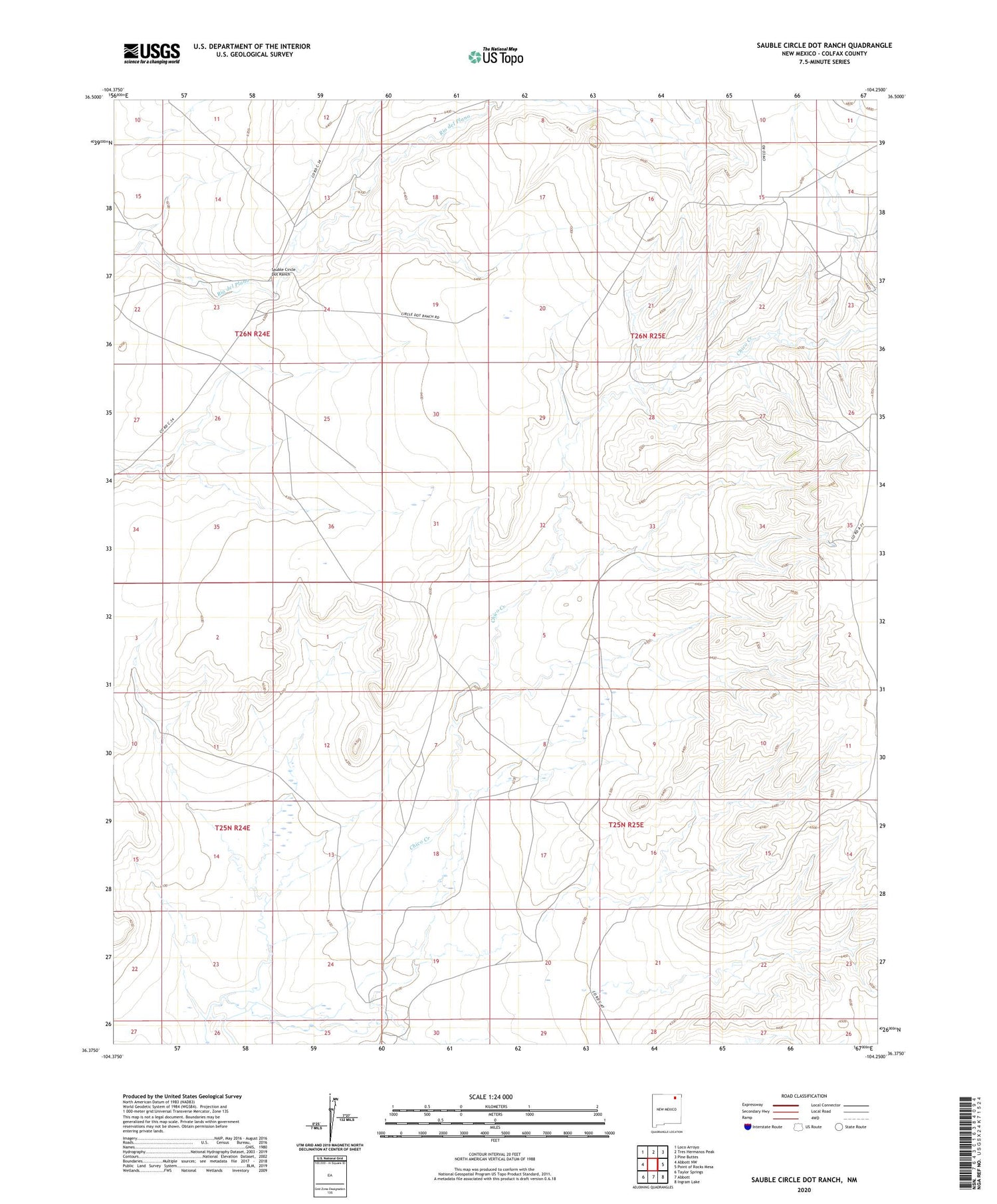
2020 topographic map quadrangle Sauble Circle Dot Ranch in the state of New Mexico. Scale: 1:24000. Based on the newly updated USGS 7.5' US Topo map series, this map is in the following counties: Colfax. The map contains contour data, water features, and other items you are used to seeing on USGS maps, but also has updated roads and other features. This is the next generation of topographic maps. Printed on high-quality waterproof paper with UV fade-resistant inks.
Quads adjacent to this one:
West: Abbott NW
Northwest: Loco Arroyo
North: Tres Hermanos Peak
Northeast: Pine Buttes
East: Point of Rocks Mesa
Southeast: Ingram Lake
South: Abbott
Southwest: Taylor Springs
Contains the following named places: Gillespie, Gillespie Ranch, Jumping Divide, Langely Ranch, Langly, Sauble Circle Dot Ranch