MyTopo
Loco Arroyo New Mexico US Topo Map
Couldn't load pickup availability
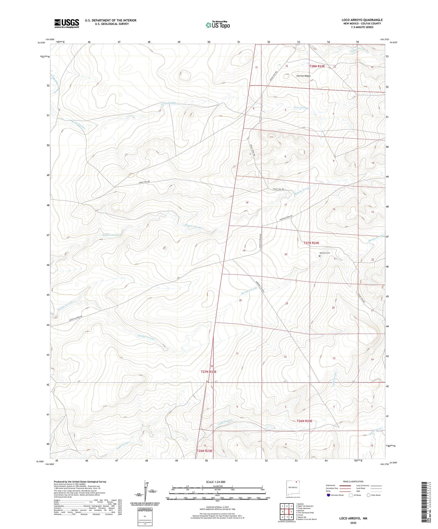
2023 topographic map quadrangle Loco Arroyo in the state of New Mexico. Scale: 1:24000. Based on the newly updated USGS 7.5' US Topo map series, this map is in the following counties: Colfax. The map contains contour data, water features, and other items you are used to seeing on USGS maps, but also has updated roads and other features. This is the next generation of topographic maps. Printed on high-quality waterproof paper with UV fade-resistant inks.
Quads adjacent to this one:
West: Maxwell
Northwest: Koehler
North: Eagle Tail Mountain
Northeast: Tinaja Mountain
East: Tres Hermanos Peak
Southeast: Sauble Circle Dot Ranch
South: Abbott NW
Southwest: French
This map covers the same area as the classic USGS quad with code o36104e4.
Contains the following named places: Cerriot Negro, Herrera Cemetery