MyTopo
Ship Rock New Mexico US Topo Map
Couldn't load pickup availability
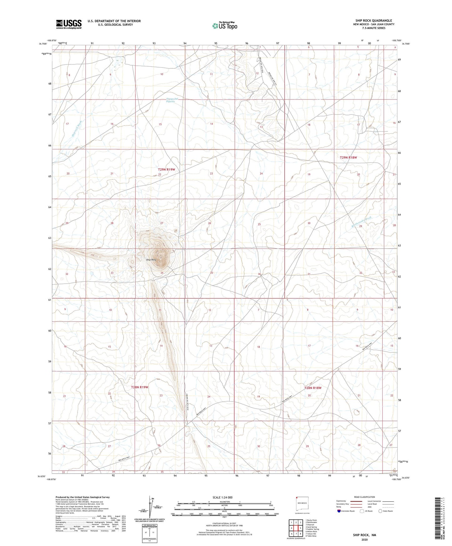
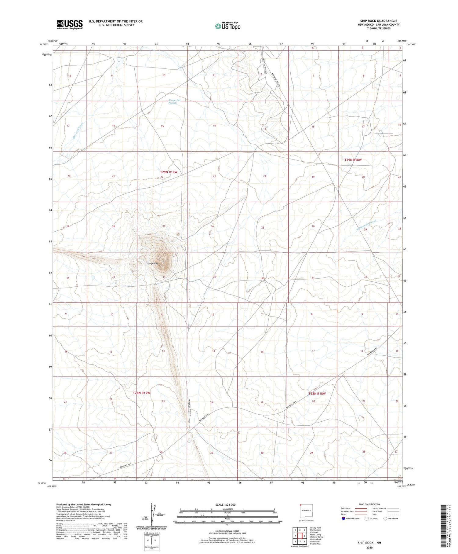
2020 topographic map quadrangle Ship Rock in the state of New Mexico. Scale: 1:24000. Based on the newly updated USGS 7.5' US Topo map series, this map is in the following counties: San Juan. The map contains contour data, water features, and other items you are used to seeing on USGS maps, but also has updated roads and other features. This is the next generation of topographic maps. Printed on high-quality waterproof paper with UV fade-resistant inks.
Quads adjacent to this one:
West: Sand Spring
Northwest: Rocky Point
North: Rattlesnake
Northeast: Shiprock
East: Sulphur Spring
Southeast: Table Mesa
South: Yellow Hill
Southwest: Mitten Rock
Contains the following named places: Arroyo Del Pajarito, Rattlesnake Oil Field, Ship Rock, Shiprock Chapter, Shiprock Gallup Oil Field, Shiprock Historical Marker