MyTopo
Simanola Valley New Mexico US Topo Map
Couldn't load pickup availability
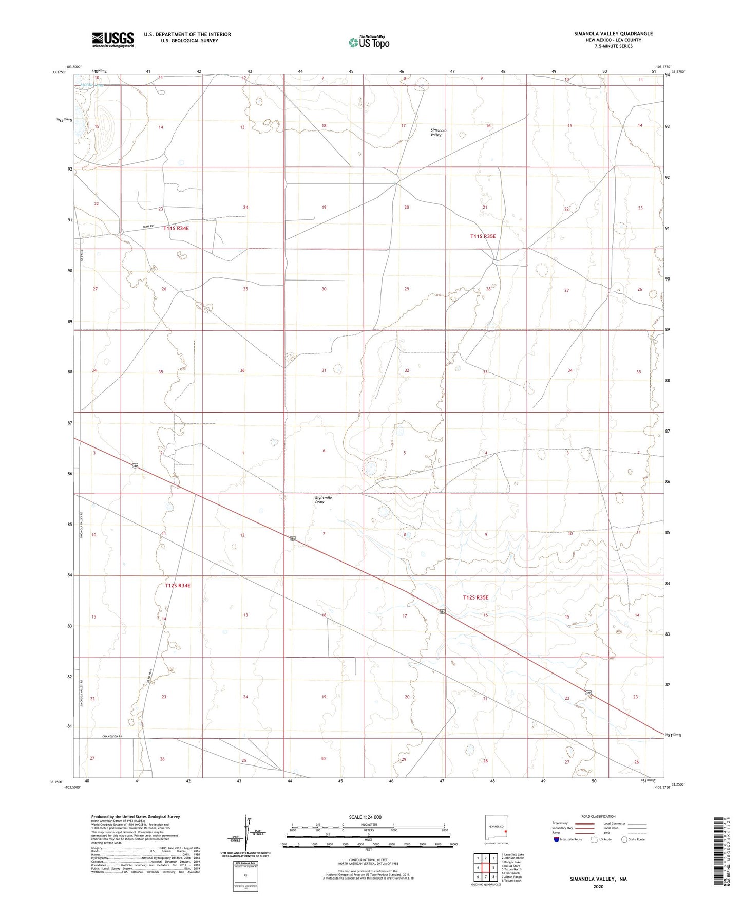
2020 topographic map quadrangle Simanola Valley in the state of New Mexico. Scale: 1:24000. Based on the newly updated USGS 7.5' US Topo map series, this map is in the following counties: Lea. The map contains contour data, water features, and other items you are used to seeing on USGS maps, but also has updated roads and other features. This is the next generation of topographic maps. Printed on high-quality waterproof paper with UV fade-resistant inks.
Quads adjacent to this one:
West: Dallas Store
Northwest: Lane Salt Lake
North: Johnson Ranch
Northeast: Ranger Lake
East: Tatum North
Southeast: Tatum South
South: Alston Ranch
Southwest: Frier Ranch
Contains the following named places: 10008 Water Well, 10686 Water Well, 10687 Water Well, 10689 Water Well, 10691 Water Well, 10692 Water Well, 10693 Water Well, 10694 Water Well, 10695 Water Well, 10696 Water Well, 10701 Water Well, 10702 Water Well, 10754 Water Well, 10777 Water Well, 10778 Water Well, 10779 Water Well, 10780 Water Well, 12705 Water Well, 12706 Water Well, 12707 Water Well, 12782 Water Well, 13391 Water Well, 13392 Water Well, 13408 Water Well, 88267, Badger Windmill, Dripper Windmill, East Horse Windmill, East Windmill, Four Lakes Area, Hill Pasture Bottom Windmill, Hill Pasture Middle Windmill, Hill Pasture Top Windmill, House Lake, Jones Ranch, Middle Lake, Middle Pasture Windmill, Ninemile Windmill, North Pasture Windmill, North Windmill, Northwest Windmill, Ranger Lake Oil Field, Rob Windmill, Shipper Pen Windmill, South Ninemile Windmill, South Pasture Windmill, Tatum Division, Well Eightmile Windmill, West Girl Windmill