MyTopo
Skull Mesa New Mexico US Topo Map
Couldn't load pickup availability
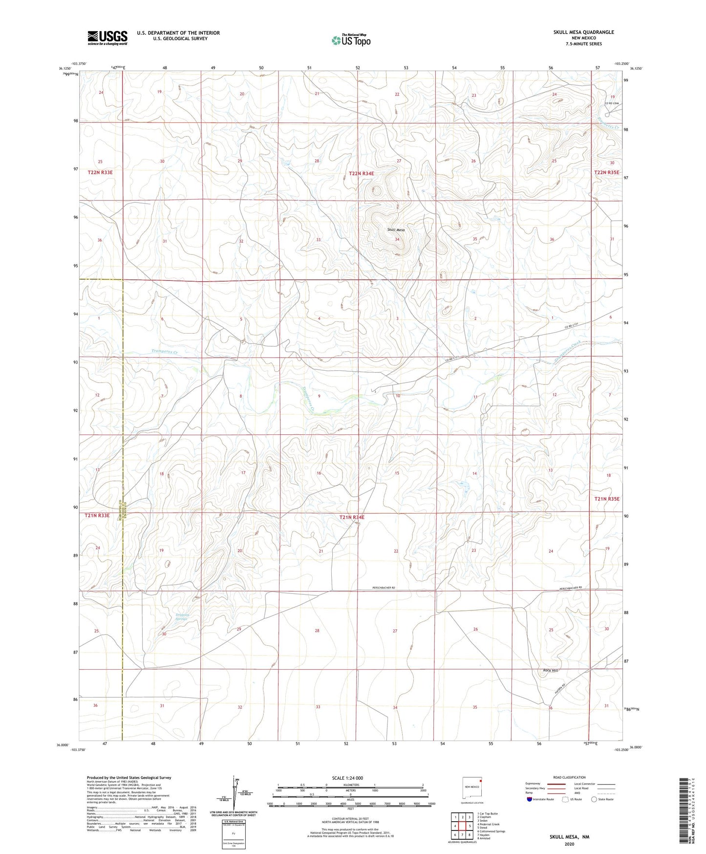
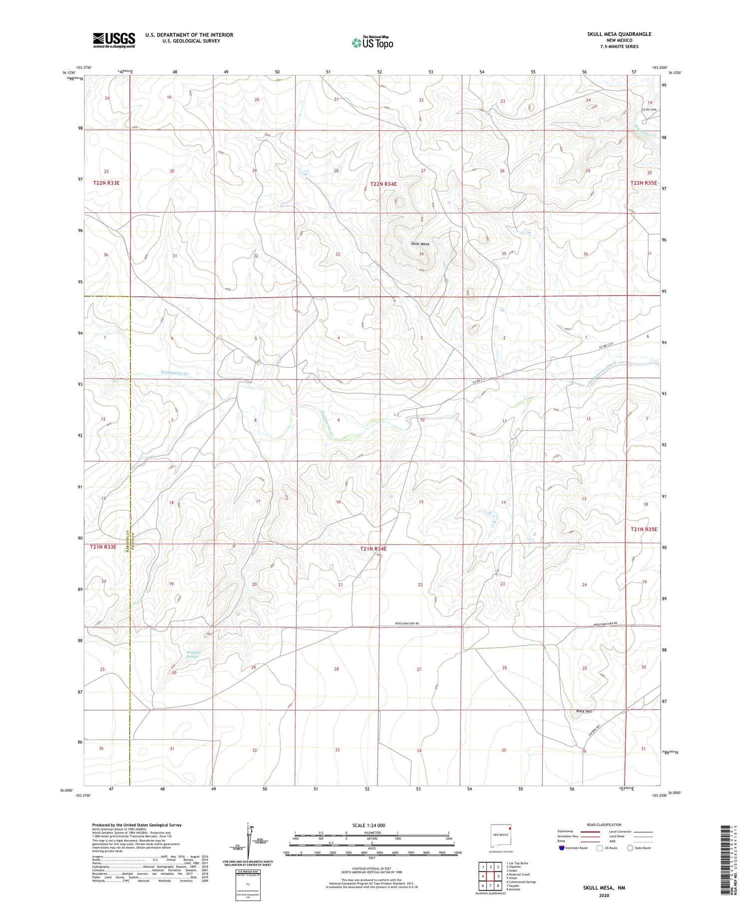
2020 topographic map quadrangle Skull Mesa in the state of New Mexico. Scale: 1:24000. Based on the newly updated USGS 7.5' US Topo map series, this map is in the following counties: Union, Harding. The map contains contour data, water features, and other items you are used to seeing on USGS maps, but also has updated roads and other features. This is the next generation of topographic maps. Printed on high-quality waterproof paper with UV fade-resistant inks.
Quads adjacent to this one:
West: Pedernal Creek
Northwest: Car Top Butte
North: Clapham
Northeast: Sedan
East: Stead
Southeast: Amistad
South: Hayden
Southwest: Cottonwood Springs
Contains the following named places: Dripping Springs, Rock Hill, Shaw Breaks, Skull Mesa, Zurick Ranch