MyTopo
Amistad New Mexico US Topo Map
Couldn't load pickup availability
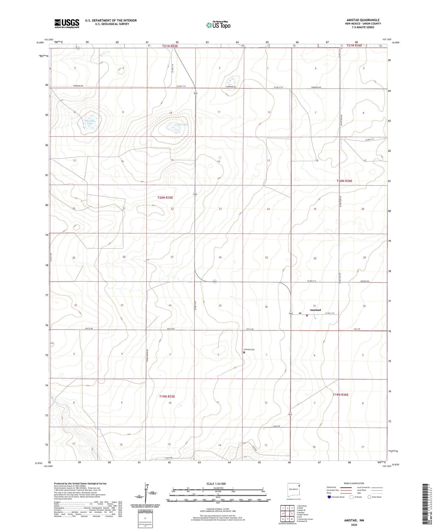
2023 topographic map quadrangle Amistad in the state of New Mexico. Scale: 1:24000. Based on the newly updated USGS 7.5' US Topo map series, this map is in the following counties: Union. The map contains contour data, water features, and other items you are used to seeing on USGS maps, but also has updated roads and other features. This is the next generation of topographic maps. Printed on high-quality waterproof paper with UV fade-resistant inks.
Quads adjacent to this one:
West: Hayden
Northwest: Skull Mesa
North: Stead
Northeast: Sedan SE
East: Koger Ranch
Southeast: Amistad SE
South: Centerville Corner
Southwest: Ione
This map covers the same area as the classic USGS quad with code o35103h2.
Contains the following named places: Amistad, Amistad Cemetery, Amistad Hayden Rural Fire Department, Amistad Post Office, Amistad Weather Station, Cain Ranch, Culp Well, Dave Well, Ellis Well, Maestas Lake, Miller, Salt Lake