
MyTopo
Skunk Canyon New Mexico US Topo Map
Couldn't load pickup availability
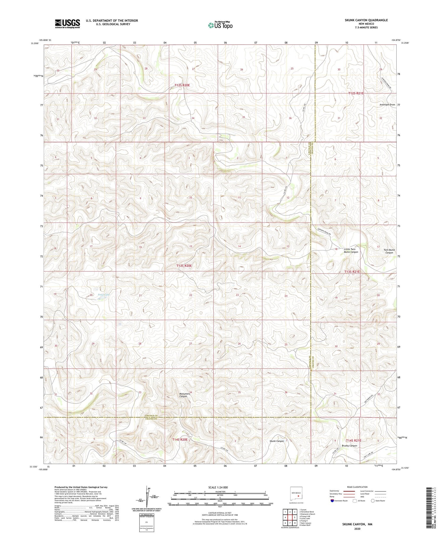
2020 topographic map quadrangle Skunk Canyon in the state of New Mexico. Scale: 1:24000. Based on the newly updated USGS 7.5' US Topo map series, this map is in the following counties: Lincoln, Chaves. The map contains contour data, water features, and other items you are used to seeing on USGS maps, but also has updated roads and other features. This is the next generation of topographic maps. Printed on high-quality waterproof paper with UV fade-resistant inks.
Quads adjacent to this one:
West: Flying H NE
Northwest: Sunset
North: Horseshoe Bend
Northeast: Diamond A Ranch
East: Lucky Lake
Southeast: Indian Bluff
South: Dark Canyon
Southwest: Flying H
Contains the following named places: Antelope Well, Black Canyon Well, Brushy Canyon, Burk Camp, Cat Well, Corn Ranch, Dicks Well, Johnson Ranch, Little Twin Butte Canyon, Little Well, Lone Well, Lookout Well, Lubbock Well, Martin Harold Well, Mattox Well, Mothers Well, Pond Lake, Rattlesnake Well, Skunk Canyon, South Lake, Water Hole Well, West Cherry Well, West Crow Flat Well, Yearling Pasture Well


