MyTopo
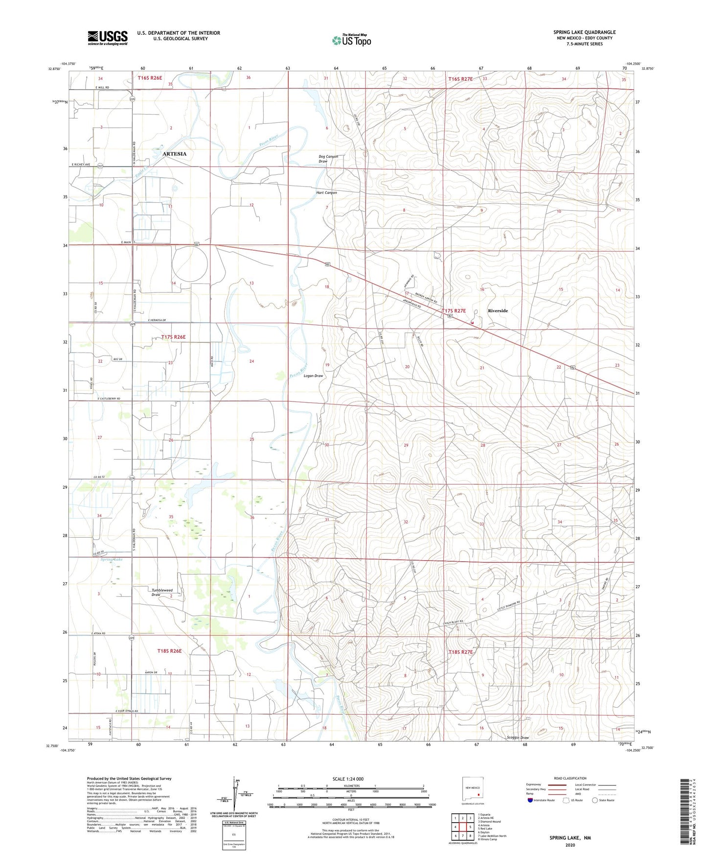
Spring Lake New Mexico US Topo Map
Couldn't load pickup availability
2023 topographic map quadrangle Spring Lake in the state of New Mexico. Scale: 1:24000. Based on the newly updated USGS 7.5' US Topo map series, this map is in the following counties: Eddy. The map contains contour data, water features, and other items you are used to seeing on USGS maps, but also has updated roads and other features. This is the next generation of topographic maps. Printed on high-quality waterproof paper with UV fade-resistant inks.
Quads adjacent to this one:
West: Artesia
Northwest: Espuela
North: Artesia NE
Northeast: Diamond Mound
East: Red Lake
Southeast: Illinois Camp
South: Lake McMillan North
Southwest: Dayton
This map covers the same area as the classic USGS quad with code o32104g3.
Contains the following named places: Brainard Lake, Daugherty Oil Field, Dog Canyon Draw, Eagle Creek, Empire ABO Sulphur Plant, Hart Canyon, Logan Draw, Logan Draw Oil Field, Riverside, Riverside Volunteer Fire Department Station 1, Spring Lake, Tumbleweed Draw