
MyTopo
Tekapo New Mexico US Topo Map
Couldn't load pickup availability
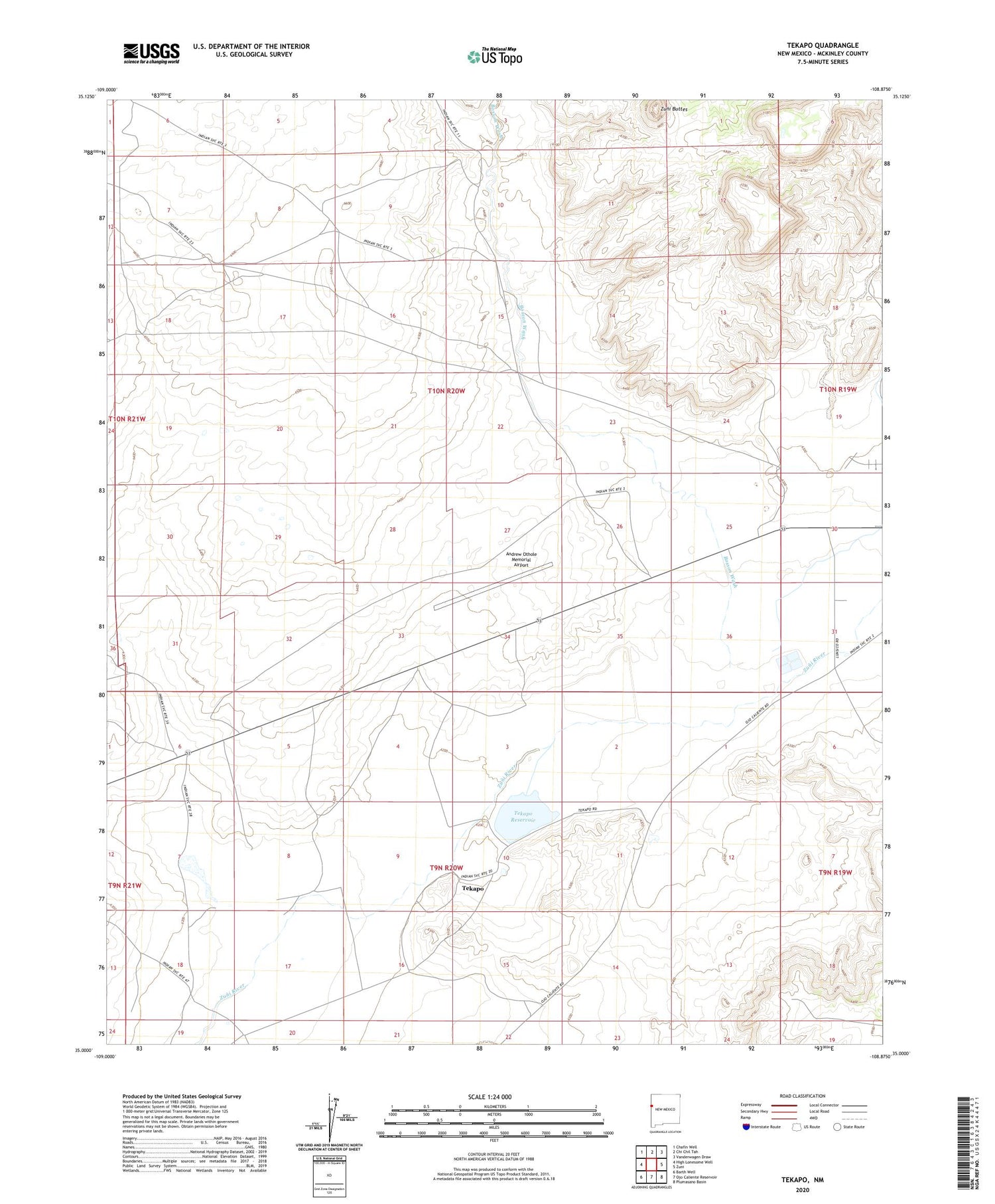
2020 topographic map quadrangle Tekapo in the state of New Mexico. Scale: 1:24000. Based on the newly updated USGS 7.5' US Topo map series, this map is in the following counties: McKinley. The map contains contour data, water features, and other items you are used to seeing on USGS maps, but also has updated roads and other features. This is the next generation of topographic maps. Printed on high-quality waterproof paper with UV fade-resistant inks.
Quads adjacent to this one:
West: High Lonesome Well
Northwest: Chafin Well
North: Chi Chil Tah
Northeast: Vanderwagen Draw
East: Zuni
Southeast: Plumasano Basin
South: Ojo Caliente Reservoir
Southwest: Barth Well
Contains the following named places: Andrew Othole Memorial Airport, Bosson Ranch, Bosson Wash, Kiewit Pit, Tekapo, Tekapo Reservoir, Tekapo Reservoir Dam, Zuni Buttes


