MyTopo
Toyee New Mexico US Topo Map
Couldn't load pickup availability
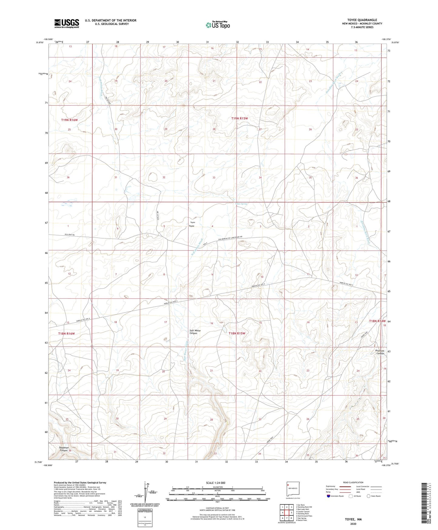
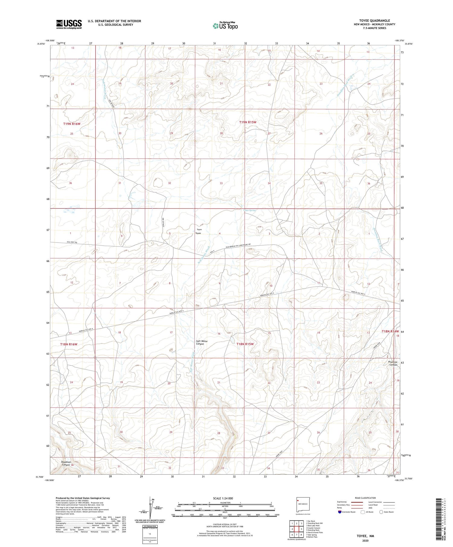
2020 topographic map quadrangle Toyee in the state of New Mexico. Scale: 1:24000. Based on the newly updated USGS 7.5' US Topo map series, this map is in the following counties: McKinley. The map contains contour data, water features, and other items you are used to seeing on USGS maps, but also has updated roads and other features. This is the next generation of topographic maps. Printed on high-quality waterproof paper with UV fade-resistant inks.
Quads adjacent to this one:
West: Coyote Canyon
Northwest: Ear Rock
North: Standing Rock NW
Northeast: Red Lake Well
East: Standing Rock
Southeast: Dalton Pass
South: Oak Spring
Southwest: Hard Ground Flats
Contains the following named places: 10021 Water Well, 14A-81 Water Well, 14T-579 Water Well, Black Mesa Canyon, Chas Damon Water Well, Coal Well Canyon, Deadman Canyon, Dog Spring Canyon, Soft Water Canyon, Standing Rock Pumping Station, Toyee, Toyee Spring