MyTopo
Tucumcari SE New Mexico US Topo Map
Couldn't load pickup availability
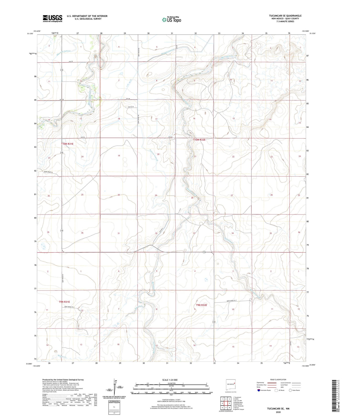
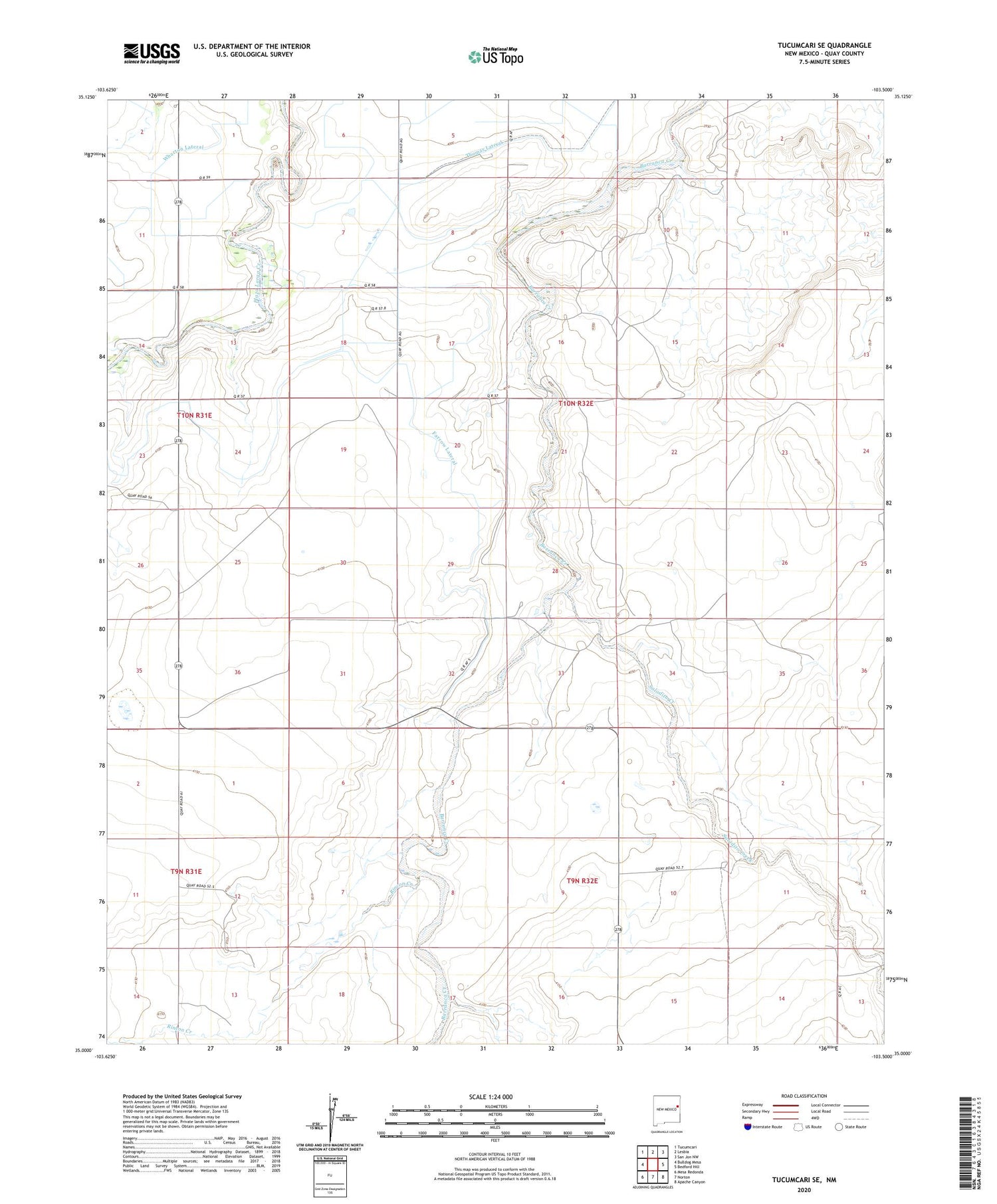
2020 topographic map quadrangle Tucumcari SE in the state of New Mexico. Scale: 1:24000. Based on the newly updated USGS 7.5' US Topo map series, this map is in the following counties: Quay. The map contains contour data, water features, and other items you are used to seeing on USGS maps, but also has updated roads and other features. This is the next generation of topographic maps. Printed on high-quality waterproof paper with UV fade-resistant inks.
Quads adjacent to this one:
West: Bulldog Mesa
Northwest: Tucumcari
North: Lesbia
Northeast: San Jon NW
East: Bedford Hill
Southeast: Apache Canyon
South: Norton
Southwest: Mesa Redonda
Contains the following named places: Apache Creek, Farrow Lateral, Farrow Ranch, Fife, Fife Ranch, Pyatt, Quay County, Rincon Creek, Saladito Creek, Wharton Lateral, Whatley