MyTopo
Twin Mesa New Mexico US Topo Map
Couldn't load pickup availability
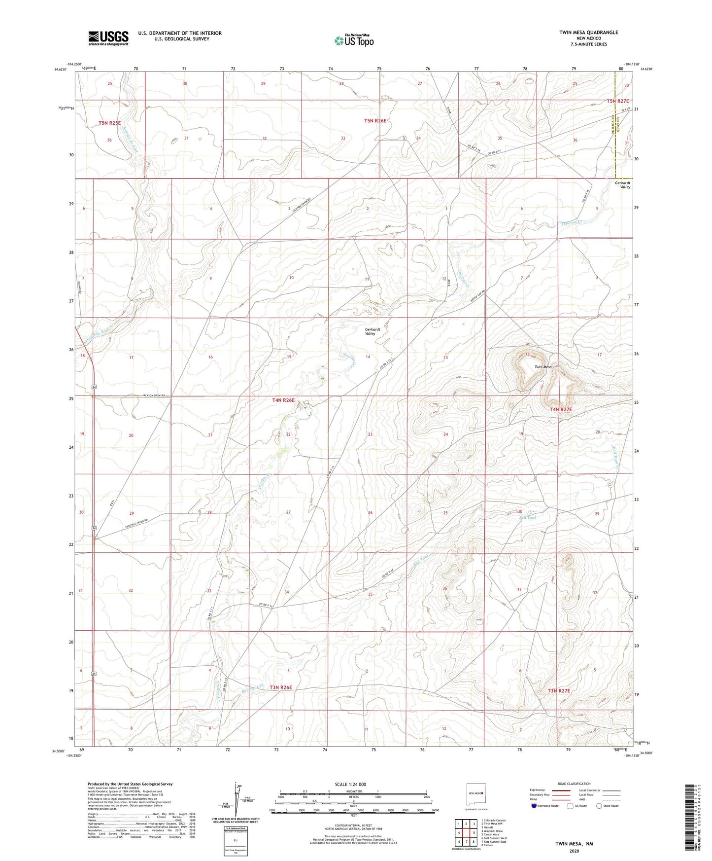
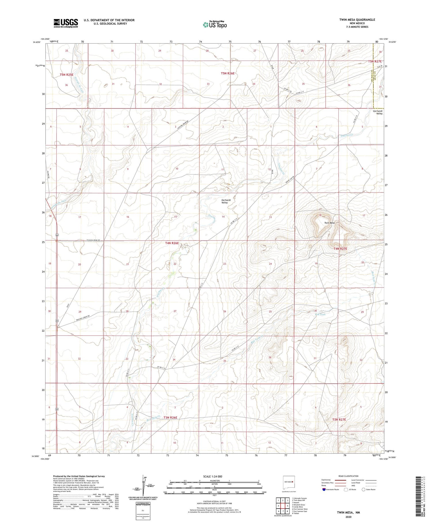
2020 topographic map quadrangle Twin Mesa in the state of New Mexico. Scale: 1:24000. Based on the newly updated USGS 7.5' US Topo map series, this map is in the following counties: De Baca, Quay. The map contains contour data, water features, and other items you are used to seeing on USGS maps, but also has updated roads and other features. This is the next generation of topographic maps. Printed on high-quality waterproof paper with UV fade-resistant inks.
Quads adjacent to this one:
West: Windmill Draw
Northwest: Colorado Canyon
North: Twin Mesa NW
Northeast: Hassell
East: Candy Mesa
Southeast: Taiban
South: Fort Sumner East
Southwest: Fort Sumner West
Contains the following named places: Buckeye Ranch, Gerhardt Valley, Koll Ranch, Morgan Ranch, Powell Ranch, Red Tank, Red Tank Creek, Twin Mesa, Wright Ranch