MyTopo
West Camp New Mexico US Topo Map
Couldn't load pickup availability
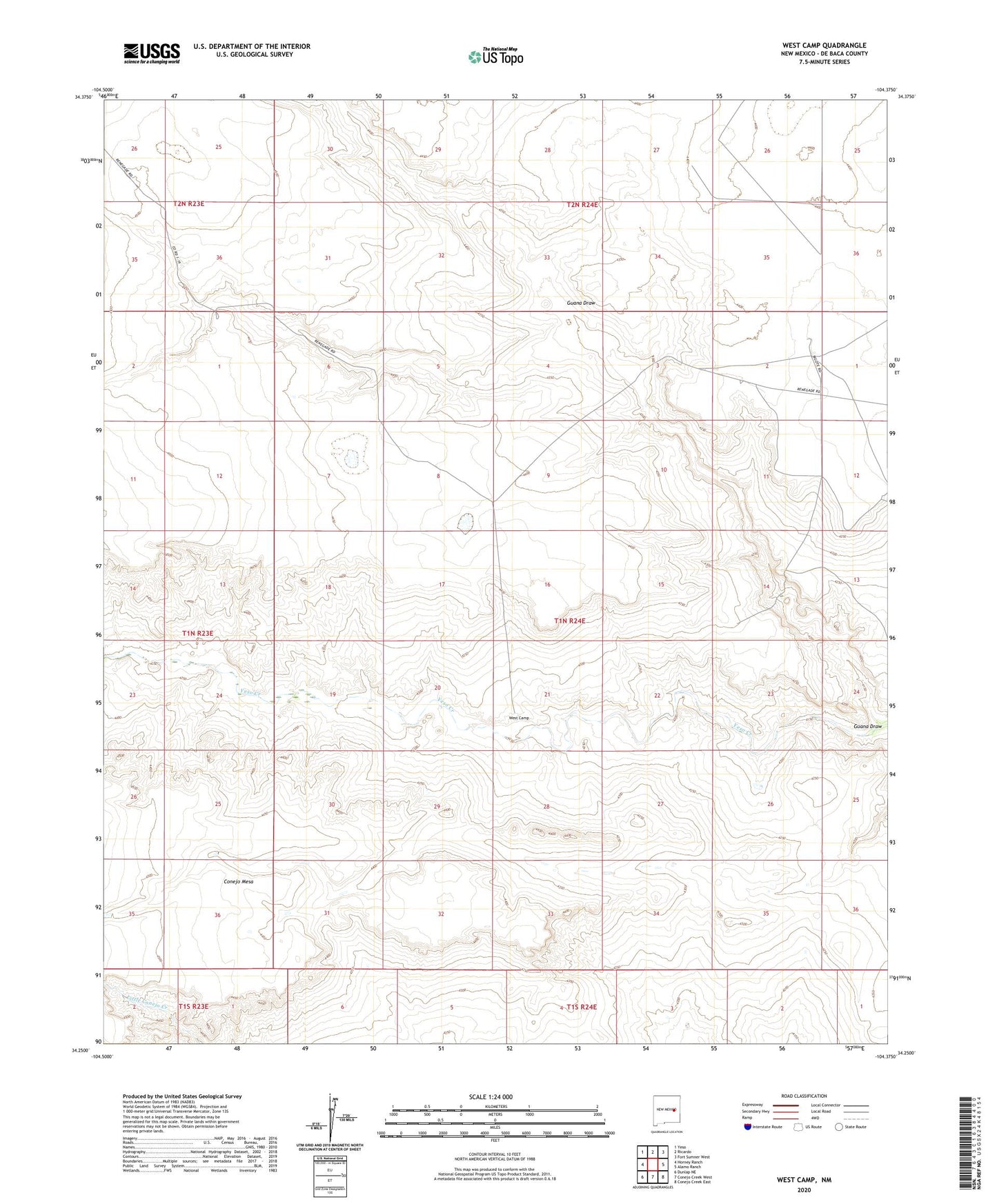
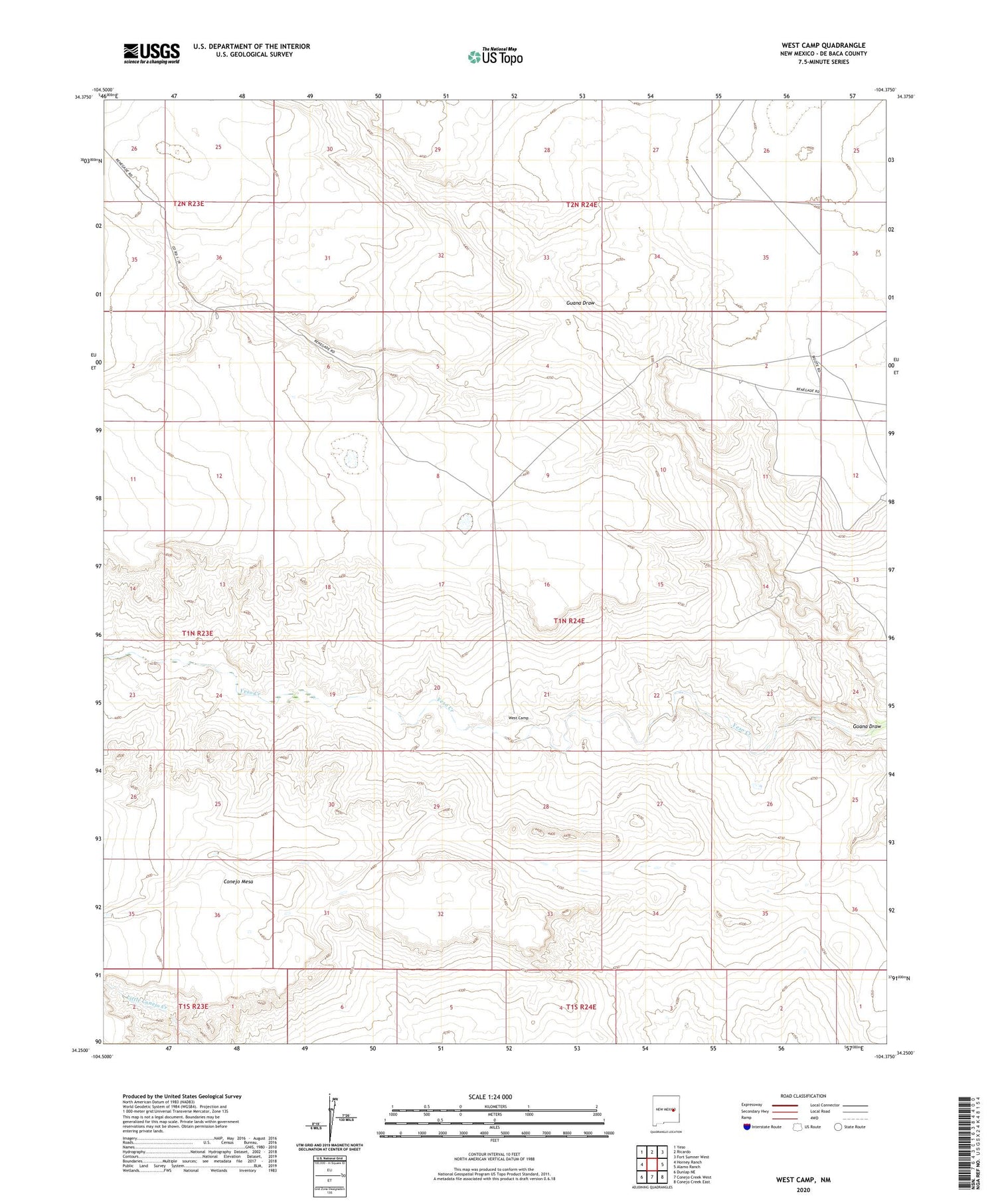
2020 topographic map quadrangle West Camp in the state of New Mexico. Scale: 1:24000. Based on the newly updated USGS 7.5' US Topo map series, this map is in the following counties: De Baca. The map contains contour data, water features, and other items you are used to seeing on USGS maps, but also has updated roads and other features. This is the next generation of topographic maps. Printed on high-quality waterproof paper with UV fade-resistant inks.
Quads adjacent to this one:
West: Horney Ranch
Northwest: Yeso
North: Ricardo
Northeast: Fort Sumner West
East: Alamo Ranch
Southeast: Conejo Creek East
South: Conejo Creek West
Southwest: Dunlap NE
Contains the following named places: 10070 Water Well, 10071 Water Well, 10072 Water Well, 10073 Water Well, 10074 Water Well, 10075 Water Well, 10076 Water Well, 10077 Water Well, 10078 Water Well, 10079 Water Well, 10080 Water Well, 10159 Water Well, 10160 Water Well, 10161 Water Well, 10162 Water Well, 10833 Water Well, 10874 Water Well, 10875 Water Well, 10878 Water Well, 10879 Water Well, 88119, De Baca County, Guana Draw, Lower End Windmill, West Camp, Weston Ranch