MyTopo
Williams Sink New Mexico US Topo Map
Couldn't load pickup availability
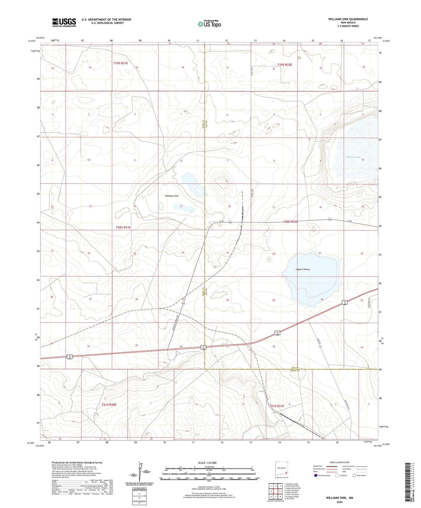
2020 topographic map quadrangle Williams Sink in the state of New Mexico. Scale: 1:24000. Based on the newly updated USGS 7.5' US Topo map series, this map is in the following counties: Eddy, Lea. The map contains contour data, water features, and other items you are used to seeing on USGS maps, but also has updated roads and other features. This is the next generation of topographic maps. Printed on high-quality waterproof paper with UV fade-resistant inks.
Quads adjacent to this one:
West: Tower Hill North
Northwest: Hackberry Lake
North: Greenwood Lake
Northeast: Laguna Gatuna NW
East: Laguna Gatuna
Southeast: The Divide
South: Livingston Ridge
Southwest: Tower Hill South
Contains the following named places: Hobbs Potash Facility, Hobbs Potash Facility Refinery, Laguna Plata, Laguna Toston, National Potash Mine, National Tailings, Williams Sink