MyTopo
Wind Mesa New Mexico US Topo Map
Couldn't load pickup availability
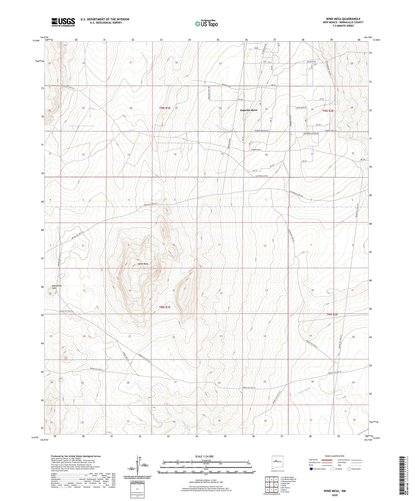
2023 topographic map quadrangle Wind Mesa in the state of New Mexico. Scale: 1:24000. Based on the newly updated USGS 7.5' US Topo map series, this map is in the following counties: Bernalillo. The map contains contour data, water features, and other items you are used to seeing on USGS maps, but also has updated roads and other features. This is the next generation of topographic maps. Printed on high-quality waterproof paper with UV fade-resistant inks.
Quads adjacent to this one:
West: Dalies NW
Northwest: La Mesita Negra
North: La Mesita Negra SE
Northeast: Albuquerque West
East: Isleta
Southeast: Los Lunas
South: Dalies
Southwest: Rio Puerco
This map covers the same area as the classic USGS quad with code o34106h7.
Contains the following named places: 10000 Water Well, Blackbird Hill, Cedar Wash, Edgar D Otto Mine, Isleta Pueblo Indian Land, Pajarito Grant, Pajarito Mesa Census Designated Place, Wind Mesa