MyTopo
Windmill Draw New Mexico US Topo Map
Couldn't load pickup availability
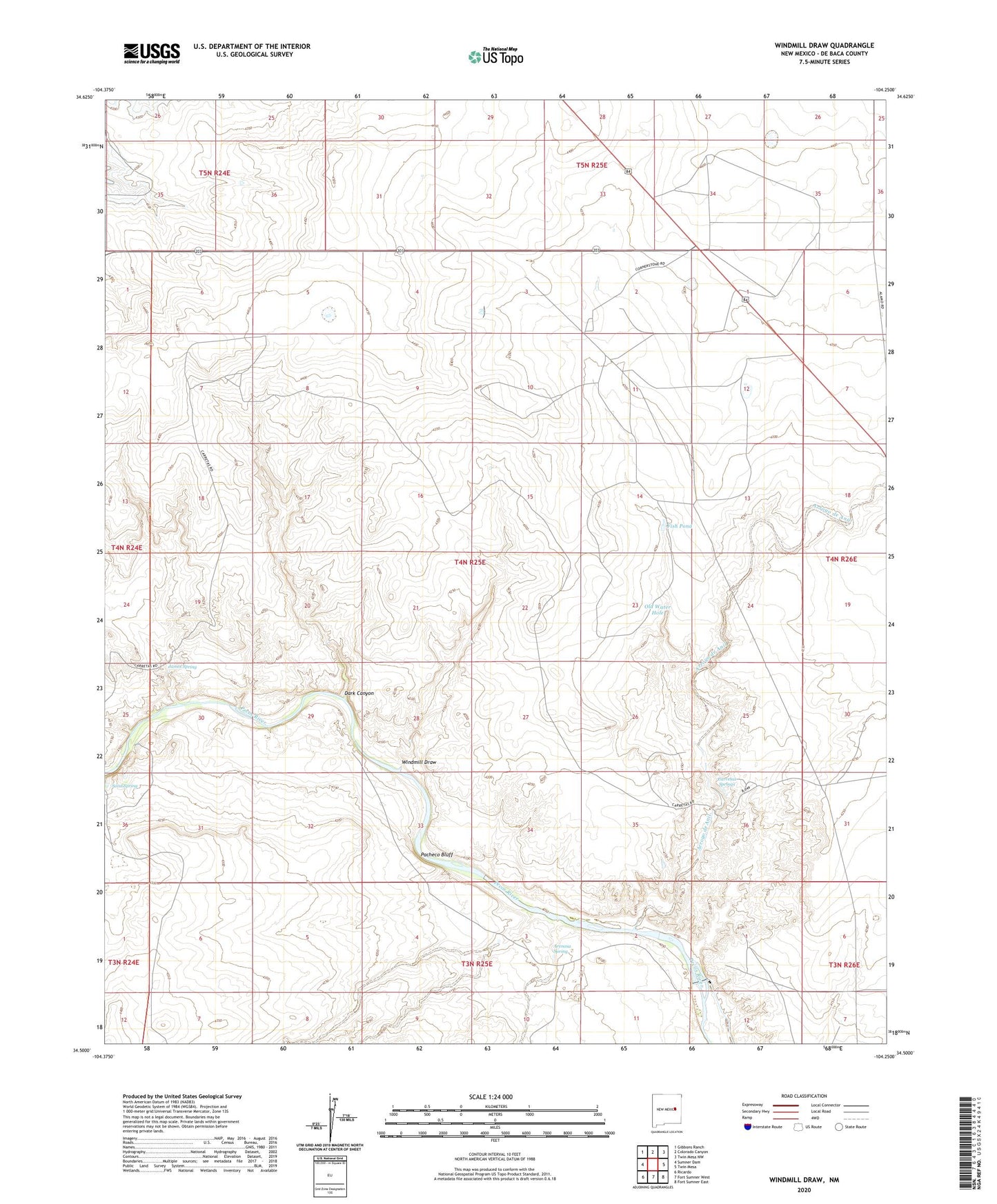
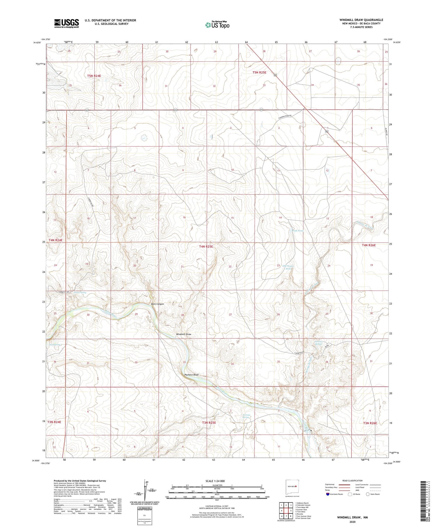
2020 topographic map quadrangle Windmill Draw in the state of New Mexico. Scale: 1:24000. Based on the newly updated USGS 7.5' US Topo map series, this map is in the following counties: De Baca. The map contains contour data, water features, and other items you are used to seeing on USGS maps, but also has updated roads and other features. This is the next generation of topographic maps. Printed on high-quality waterproof paper with UV fade-resistant inks.
Quads adjacent to this one:
West: Sumner Dam
Northwest: Gibbons Ranch
North: Colorado Canyon
Northeast: Twin Mesa NW
East: Twin Mesa
Southeast: Fort Sumner East
South: Fort Sumner West
Southwest: Ricardo
Contains the following named places: 10377 Water Well, Arenosa Spring, Arroyo de Anil, Brassell Ranch, Carretas Springs, Dark Canyon, East Hale Windmill, East Windmill, Fish Pond, Fort Sumner Diversion Dam, Hale Windmill, Horse Pasture Windmill, James Spring, North Camp Windmill, North Windmill, Old Water Hole, Pacheco Bluff, Sand Spring, Shipping Trap Windmill, South Windmill, Star Windmill, Walton Ranch, West River Windmill, Windmill Draw, Winter Horse Pasture Windmill, York Ranch