MyTopo
Gibbons Ranch New Mexico US Topo Map
Couldn't load pickup availability
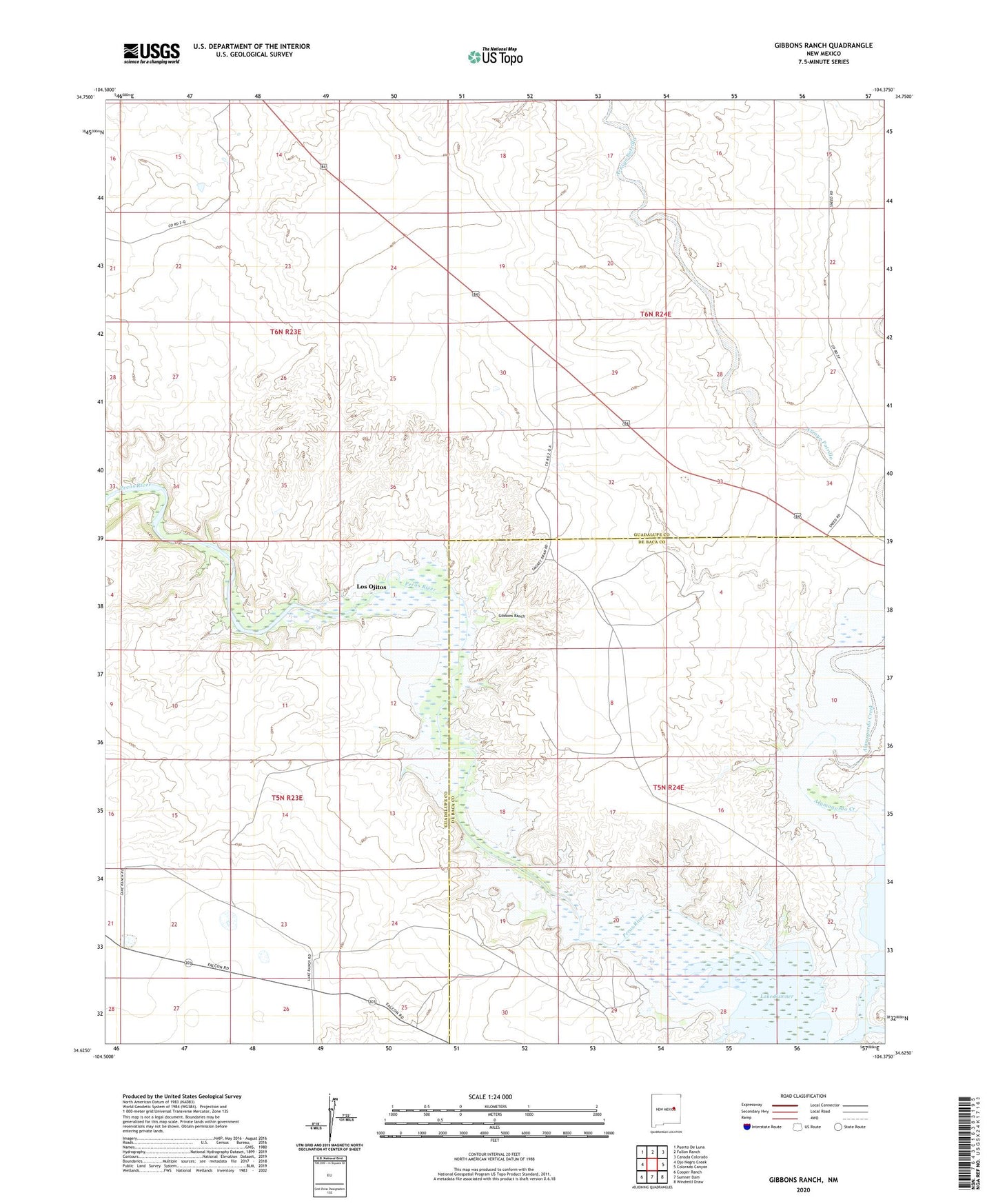
2023 topographic map quadrangle Gibbons Ranch in the state of New Mexico. Scale: 1:24000. Based on the newly updated USGS 7.5' US Topo map series, this map is in the following counties: Guadalupe, De Baca. The map contains contour data, water features, and other items you are used to seeing on USGS maps, but also has updated roads and other features. This is the next generation of topographic maps. Printed on high-quality waterproof paper with UV fade-resistant inks.
Quads adjacent to this one:
West: Ojo Negro Creek
Northwest: Puerto De Luna
North: Fallon Ranch
Northeast: Canada Colorado
East: Colorado Canyon
Southeast: Windmill Draw
South: Sumner Dam
Southwest: Cooper Ranch
This map covers the same area as the classic USGS quad with code o34104f4.
Contains the following named places: Alamogordo Creek, Gibbons, Gibbons Ranch, Lake Sumner, Los Ojitos, Los Ojitos Post Office