MyTopo
Buffalo SE OE W New York US Topo Map
Couldn't load pickup availability
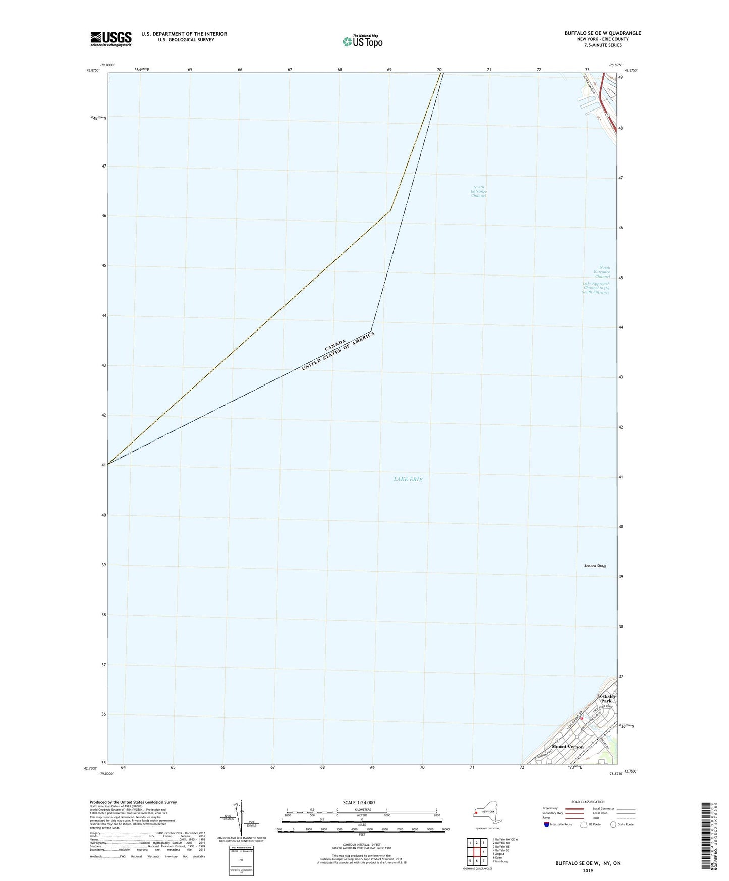
2023 topographic map quadrangle Buffalo SE OE W in the state of New York. Scale: 1:24000. Based on the newly updated USGS 7.5' US Topo map series, this map is in the following counties: Erie. The map contains contour data, water features, and other items you are used to seeing on USGS maps, but also has updated roads and other features. This is the next generation of topographic maps. Printed on high-quality waterproof paper with UV fade-resistant inks.
Quads adjacent to this one:
Northwest: Buffalo NW OE W
North: Buffalo NW
Northeast: Buffalo NE
East: Buffalo SE
Southeast: Hamburg
South: Eden
Southwest: Angola
Contains the following named places: Bible Fellowship Church, Buffalo Harbor Light, Hamburg Park, Hamburg Public Library Lake Shore Branch, Inner Harbor Middle Section, Inner Harbor North Section, Ira G Ross Aerospace Museum, Lake Approach Channel to the South Entrance, Lake Shore Park, Lake Shore Volunteer Fire Company Rogers Station 1, Locksley Park, Mount Vernon, North End Light, North Entrance Channel, Pier 1, Pier 2, Saint Mary of the Lake School, Seaway Piers, Seneca Shoal