MyTopo
Claverack New York US Topo Map
Couldn't load pickup availability
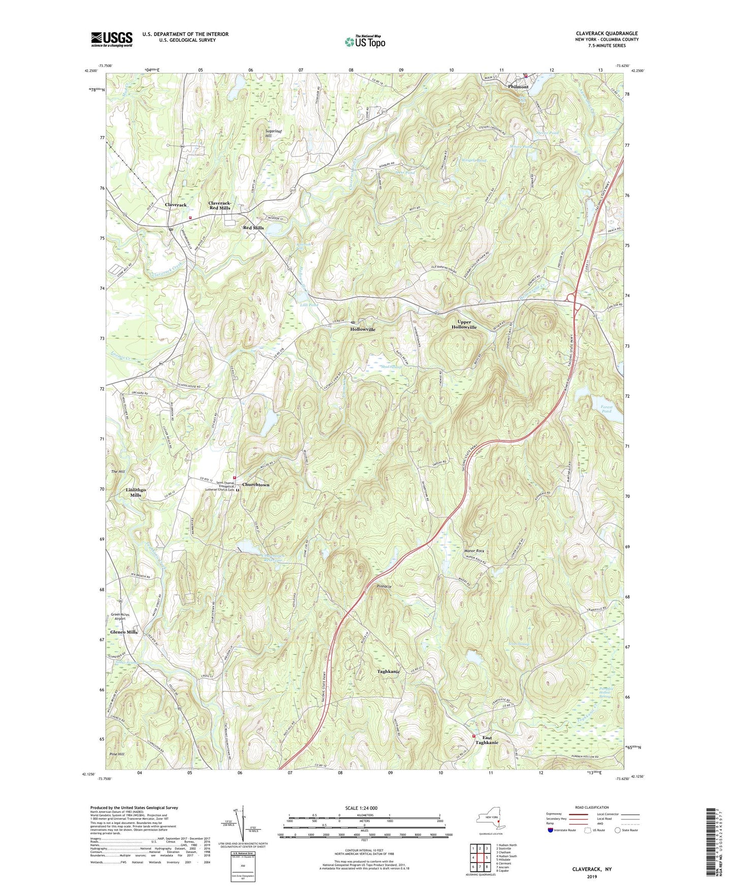
2023 topographic map quadrangle Claverack in the state of New York. Scale: 1:24000. Based on the newly updated USGS 7.5' US Topo map series, this map is in the following counties: Columbia. The map contains contour data, water features, and other items you are used to seeing on USGS maps, but also has updated roads and other features. This is the next generation of topographic maps. Printed on high-quality waterproof paper with UV fade-resistant inks.
Quads adjacent to this one:
West: Hudson South
Northwest: Hudson North
North: Stottville
Northeast: Chatham
East: Hillsdale
Southeast: Copake
South: Ancram
Southwest: Clermont
This map covers the same area as the classic USGS quad with code o42073b6.
Contains the following named places: Blackberry Hill Farm, Buttermilk Falls, Churchtown, Churchtown Fire Company 1, Churchtown Reservoir, Claverack, Claverack Fire District A B Shaw Fire Company, Claverack Free Library, Claverack Post Office, Claverack-Red Mills Census Designated Place, Columbia Country Club, Country Club School, East Taghkanic, Forest Pond, Glenco Mills, Hess Pond, High Falls, Hollowville, Hollowville Creek, Hollowville Post Office, Hollowville Trailer Park, Jutkosky Court, Lilli Pond, Linlithgo Mills, Manor Rock, Martindale, Moore Pond, Neiber Swamp, Ockawamick Central School, Philmont, Philmont Post Office, Philmont Rescue Squad, Philmont Volunteer Fire Company 1, Pine Hill, Pinnacle, Pumpkin Hollow Swamp, Pumpkin Ridge Farm, Red Mills, Reformed Dutch Church, Sacred Heart Church, Saint Marks Episcopal Church, Saint Thomas Evangelical Lutheran Church Cemetery, Saint Thomas Lutheran Church, School Number 12, School Number 5, School Number 7, Second Reformed Church, Shad Swamp, Stever Pond, Sugarloaf Hill, Taconic Orchards, Taghkanic, Taghkanic Center Church, Taghkanic Volunteer Fire Company 1 East Taghkanic Station 2, Texas Swamp, The Farm At Miller's Crossing, The Hill, Town of Claverack, Town of Taghkanic, Trinity Church, Upper Hollowville, Village of Philmont, Weigelt Pond, ZIP Codes: 12513, 12521, 12530, 12565


