MyTopo
Clintonville New York US Topo Map
Couldn't load pickup availability
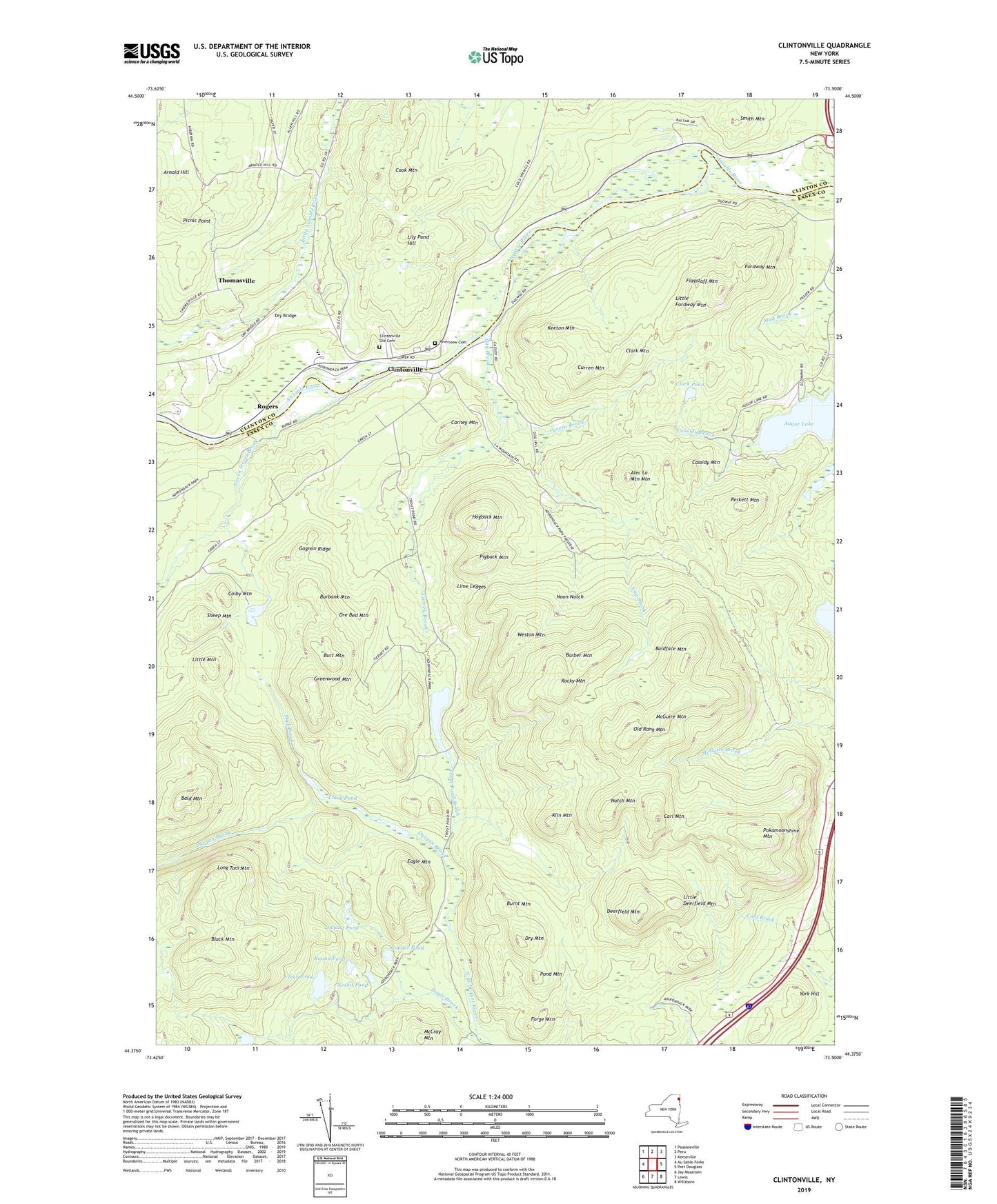
2019 topographic map quadrangle Clintonville in the state of New York. Scale: 1:24000. Based on the newly updated USGS 7.5' US Topo map series, this map is in the following counties: Essex, Clinton. The map contains contour data, water features, and other items you are used to seeing on USGS maps, but also has updated roads and other features. This is the next generation of topographic maps. Printed on high-quality waterproof paper with UV fade-resistant inks.
Quads adjacent to this one:
West: Au Sable Forks
Northwest: Peasleeville
North: Peru
Northeast: Keeseville
East: Port Douglass
Southeast: Willsboro
South: Lewis
Southwest: Jay Mountain
Contains the following named places: Alec La Mountain Mountain, Au Sable Valley High School, Ausable Valley Middle School, Bald Mountain, Baldface Mountain, Barber Mountain, Black Mountain, Burbank Mountain, Burnt Mountain, Burt Mountain, Carl Mountain, Carney Brook, Carney Mountain, Cassidy Brook, Cassidy Mountain, Clark Mountain, Clark Pond, Clear Pond, Clintonville, Clintonville Old Cemetery, Colby Mountain, Cook Mountain, Copper Pond, Curren Brook, Curren Mountain, Deerfield Mountain, Doyle Brook, Dry Bridge, Dry Mountain, Durgan Brook, Eagle Mountain, Flagstaff Mountain, Fordway Mountain, Forge Mountain, Gagnon Ridge, Gay Brook, Green Street Brook, Greenwood Mountain, Hale Brook, Hogback Mountain, Keeton Mountain, Kiln Mountain, Kingdom Hall of Jehovahs Witnesses, Lily Pond Hill, Lime Ledges, Little Deerfield Mountain, Little Fordway Mountain, Little Mountain, Lockart Pond, Long Tom Mountain, McCray Mountain, McGuire Mountain, Mud Brook, Mud Pond, Nesbit Pond, Noon Notch, Notch Mountain, Old Rang Mountain, Ore Bed Mountain, Perkett Mountain, Picnic Point, Pigback Mountain, Pokamoonshine Mountain, Pond Mountain, Riverview Cemetery, Rocky Mountain, Rogers, Round Pond, Sheep Mountain, Smith Mountain, The Gulf, Thomasville, Trout Pond, Trout Pond Brook, Weston Mountain, York Hill, ZIP Codes: 12924, 12944