MyTopo
Crystal Dale New York US Topo Map
Couldn't load pickup availability
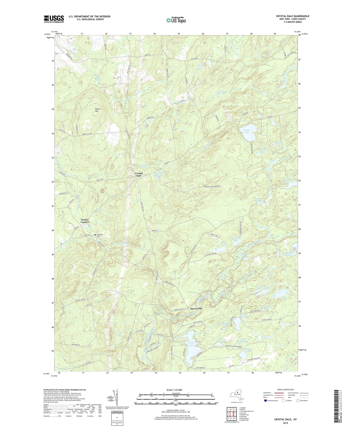
2019 topographic map quadrangle Crystal Dale in the state of New York. Scale: 1:24000. Based on the newly updated USGS 7.5' US Topo map series, this map is in the following counties: Lewis. The map contains contour data, water features, and other items you are used to seeing on USGS maps, but also has updated roads and other features. This is the next generation of topographic maps. Printed on high-quality waterproof paper with UV fade-resistant inks.
Quads adjacent to this one:
West: Lowville
Northwest: Croghan
North: Belfort
Northeast: Soft Maple Reservoir
East: Number Four
Southeast: Copper Lake
South: Brantingham
Southwest: Glenfield
Contains the following named places: Beach Millpond, Beaver Meadow Creek, Beech Hill, Beech Hill School, Burnt Creek, Calfhead Pond, Campville Cemetery, Chase Lake, Chase Upper Lake, Cleveland Lake, Crystal Dale, Crystal Lake, Crystal Lake School, Dicob Falls, Dicob School, Evies Pond, Fish Pond, Gourd Lake, Halfmoon Lake, Hinchings Pond, Hopsicker Pond, Little Punky Pond, Long Lake, Lowville Reservoir, Mahan Pond, Ossoit School, Parsons Pond, Payne Lake, Petries Corners, Petries Mill, Puffer School, South Branch Crystal Creek, Sperryville, Stewart Pond, Strifts School, The Inlet, Town of New Bremen, Town of Watson, ZIP Code: 13343