MyTopo
High Market New York US Topo Map
Couldn't load pickup availability
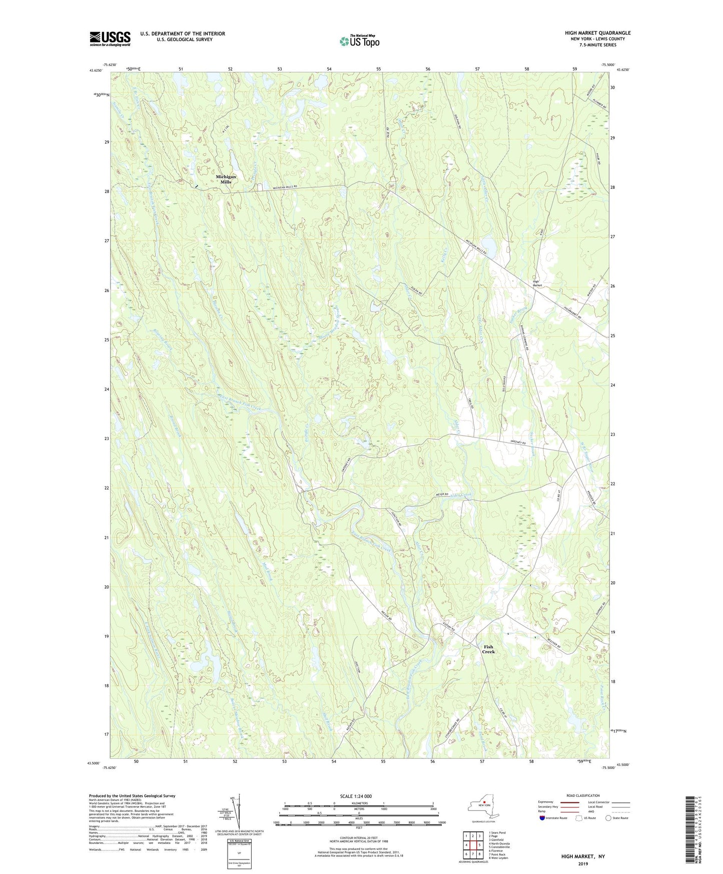
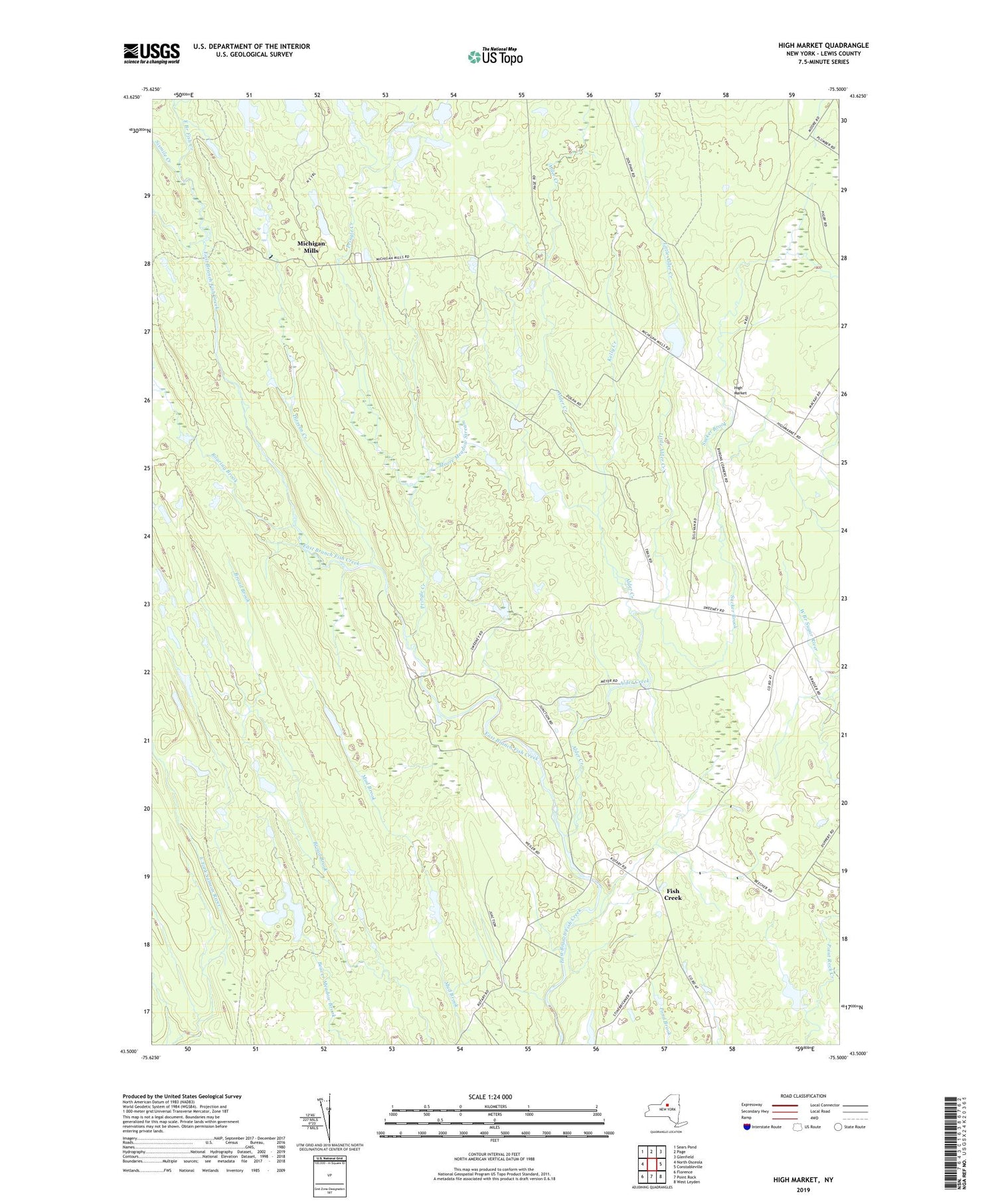
2019 topographic map quadrangle High Market in the state of New York. Scale: 1:24000. Based on the newly updated USGS 7.5' US Topo map series, this map is in the following counties: Lewis. The map contains contour data, water features, and other items you are used to seeing on USGS maps, but also has updated roads and other features. This is the next generation of topographic maps. Printed on high-quality waterproof paper with UV fade-resistant inks.
Quads adjacent to this one:
West: North Osceola
Northwest: Sears Pond
North: Page
Northeast: Glenfield
East: Constableville
Southeast: West Leyden
South: Point Rock
Southwest: Florence
Contains the following named places: Alder Creek, Byron Corners, Dirreen Creek, Fish Creek, High Market, Kelly Creek, Little Alder Creek, Michigan Mills, Moore Meadow Stream, Pringle Creek, Roaring Brook, School Number 5, School Number 6, School Number 9, Sevenmile Creek, Sixmile Creek, Sucker Brook, Town of West Turin, ZIP Code: 13325