MyTopo
Newark New York US Topo Map
Couldn't load pickup availability
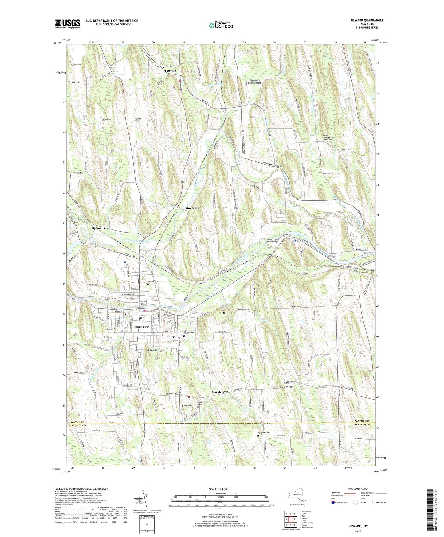
2023 topographic map quadrangle Newark in the state of New York. Scale: 1:24000. Based on the newly updated USGS 7.5' US Topo map series, this map is in the following counties: Wayne, Ontario. The map contains contour data, water features, and other items you are used to seeing on USGS maps, but also has updated roads and other features. This is the next generation of topographic maps. Printed on high-quality waterproof paper with UV fade-resistant inks.
Quads adjacent to this one:
West: Palmyra
Northwest: Williamson
North: Sodus
Northeast: Rose
East: Lyons
Southeast: Geneva North
South: Phelps
Southwest: Clifton Springs
This map covers the same area as the classic USGS quad with code o43077a1.
Contains the following named places: Assembly of God of Newark, Bailey Hill, Bodine Farm, Burnham Cottage, Butternut Run, Calvary Church, Christian and Missionary Alliance Church, Church of God, Colburn Park, County House Road Bridge, Crowfield Farm, East Avenue Bridge, East End Fire Station, East Newark Cemetery, Emmanuel United Methodist Church, Erie Falcon Golf and Recreation Center, Fairville, Fairville Cemetery, Fairville Station, Fairville Volunteer Fire Department, Fellows - North Lyons Rural Cemetery, First Baptist Church, First Church of Christ Scientist, First United Methodist Church, Ganargua Creek, Gansz Farms, Golf Farm, Green Meadows Park, Hydesville, Jackson Hill, Kingdom Hall of Jehovahs Witnesses, Lehigh Farms, Lighthouse Baptist Church, Lincoln Elementary School, Marbletown, Marbletown Cemetery, Marbletown Volunteer Fire Department, Mayo Park, Military Run, Miller Marine, Miller's Marina, Moss Cottage, Mud Mills, New York Central Hose Company, Newark, Newark - Wayne Community Hospital, Newark Airport, Newark Arcadia Volunteer Ambulance, Newark Assembly of God Church, Newark Baptist Fellowship, Newark Cemetery, Newark Christian Fellowship, Newark Industrial Park, Newark Manor Nursing Home, Newark Medical Center, Newark Middle School, Newark Plaza Shopping Center, Newark Post Office, Newark Public Library, Newark Senior High School, Newark State School, Newark Volunteer Fire Department, Newark Wastewater Treatment Plant, Norman R Kelley Intermediate School, Old Houser Cemetery, Organic Matters Farm, Park Presbyterian Church, Peacework Organic Farm, Perkins Elementary School, Purchase Cemetery, Redeemer Lutheran Church, Roosevelt Public School, Rose City Drive-In, Rose Gardens, Saint Mark's Episcopal Church, Saint Michaels Parochial School, Saint Michael's Roman Catholic Church, School Number 10, School Number 11, School Number 13, School Number 19, School Number 2, School Number 22, School Number 3, School Number 4, School Number 5, School Number 6, School Number 7, School Number 8, Sheers Pond, Silver Hill, Silver Hill Technology Park, Stebbins Corners, Sunset Farms Dairy, The Church of Christ of Newark, Toggenburg Farms Airport, Town of Arcadia, Trout Brook, Vienna Estates, Village of Newark, Village of Newark Community Center, WACK-AM (Newark), Wayne County Advanced Life Support Services, Wayne County Nursing Home, WFRW-FM (Webster), ZIP Code: 14513


