MyTopo
Ninemile Point New York US Topo Map
Couldn't load pickup availability
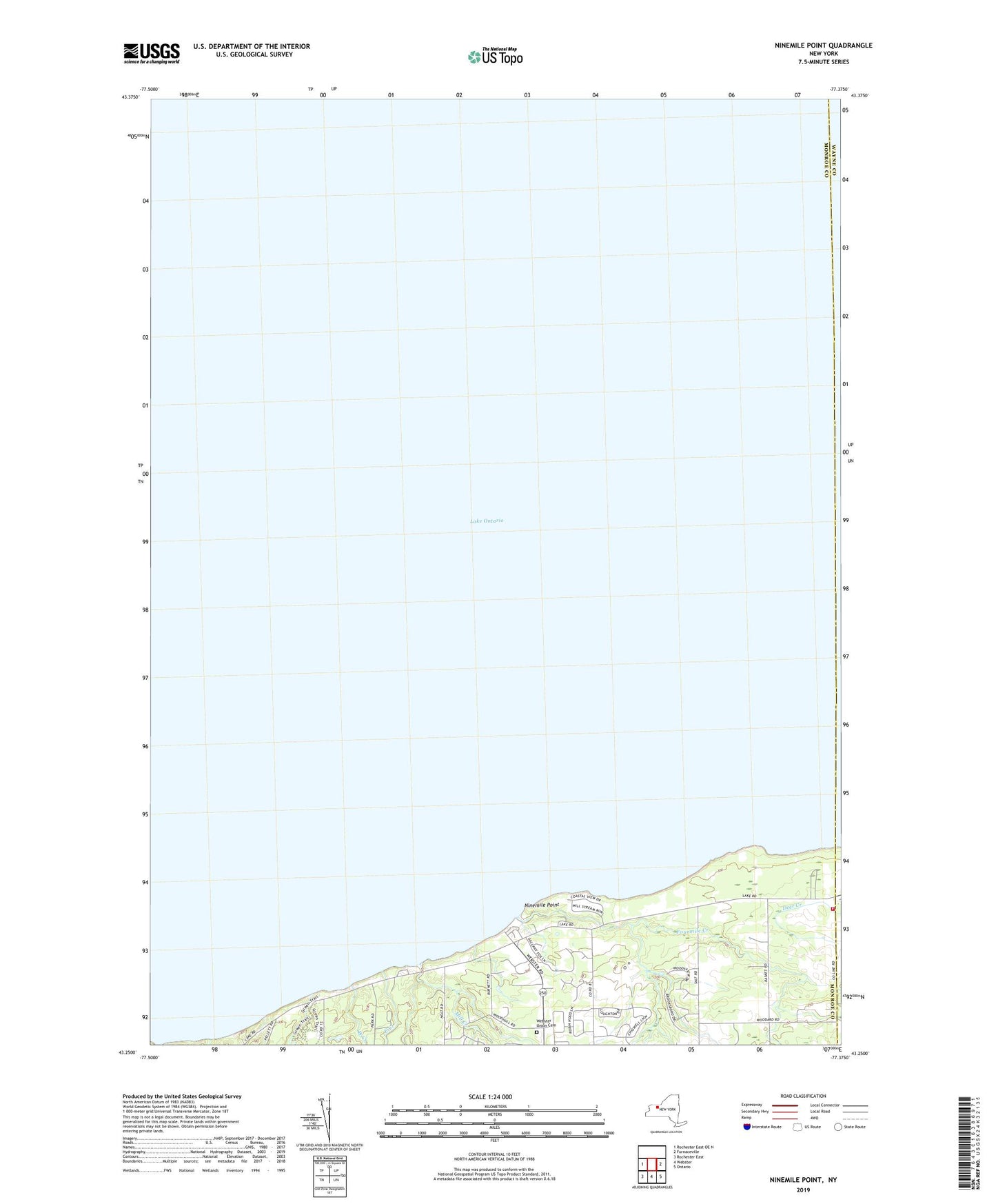
2019 topographic map quadrangle Ninemile Point in the state of New York. Scale: 1:24000. Based on the newly updated USGS 7.5' US Topo map series, this map is in the following counties: Monroe, Wayne. The map contains contour data, water features, and other items you are used to seeing on USGS maps, but also has updated roads and other features. This is the next generation of topographic maps. Printed on high-quality waterproof paper with UV fade-resistant inks.
Quads adjacent to this one:
West: Rochester East OE N
East: Furnaceville
Southeast: Ontario
South: Webster
Southwest: Rochester East
Contains the following named places: East Creek, Fourmile Creek, Mill Creek, Ninemile Point, Saint Andrews Church, School Number 9, Union Hill Volunteer Fire Department Station 2, Webster Park, Webster Union Cemetery, West Creek