MyTopo
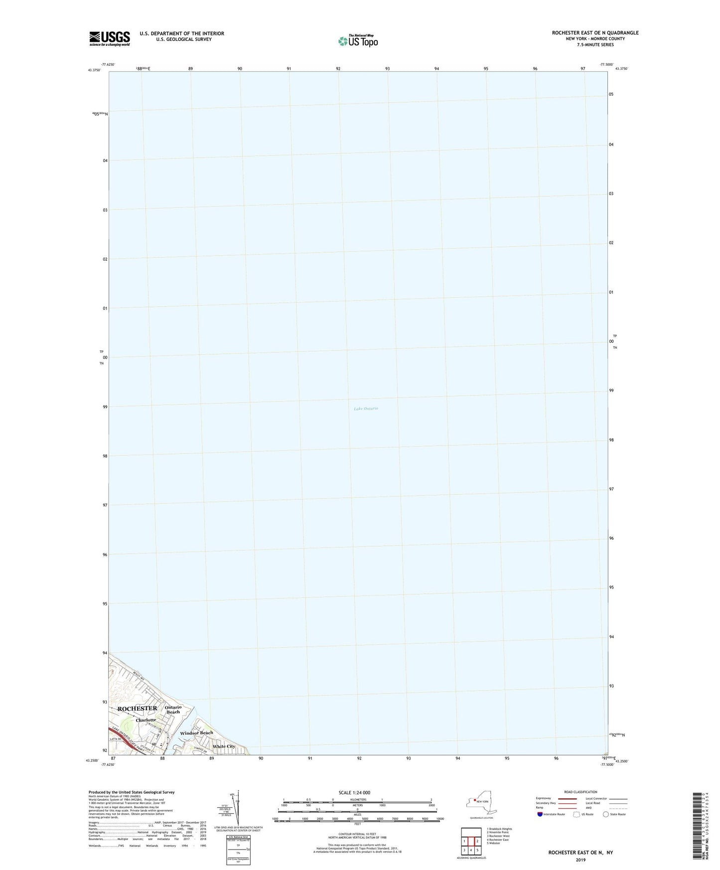
Rochester East OE N New York US Topo Map
Couldn't load pickup availability
2023 topographic map quadrangle Rochester East OE N in the state of New York. Scale: 1:24000. Based on the newly updated USGS 7.5' US Topo map series, this map is in the following counties: Monroe. The map contains contour data, water features, and other items you are used to seeing on USGS maps, but also has updated roads and other features. This is the next generation of topographic maps. Printed on high-quality waterproof paper with UV fade-resistant inks.
Quads adjacent to this one:
West: Braddock Heights
East: Ninemile Point
Southeast: Webster
South: Rochester East
Southwest: Rochester West
Contains the following named places: Charlotte, Charlotte Lake River Homes, Charlotte Lighthouse, Charlotte Post Office, East Pier Light, Genesee River, Holy Cross Church, Holy Cross School, Islamic Association Masjid, Lake United Methodist Church, Lakeshore Country Club, Ontario Beach, Ontario Beach Park, Pelican River Marina, Rochester Harbor, Rochester Harbor Light, Rochester Yacht Club, School Number 38, Summerville, The Shore Winds, White City, Windsor Beach