MyTopo
North of Dunkirk New York US Topo Map
Couldn't load pickup availability
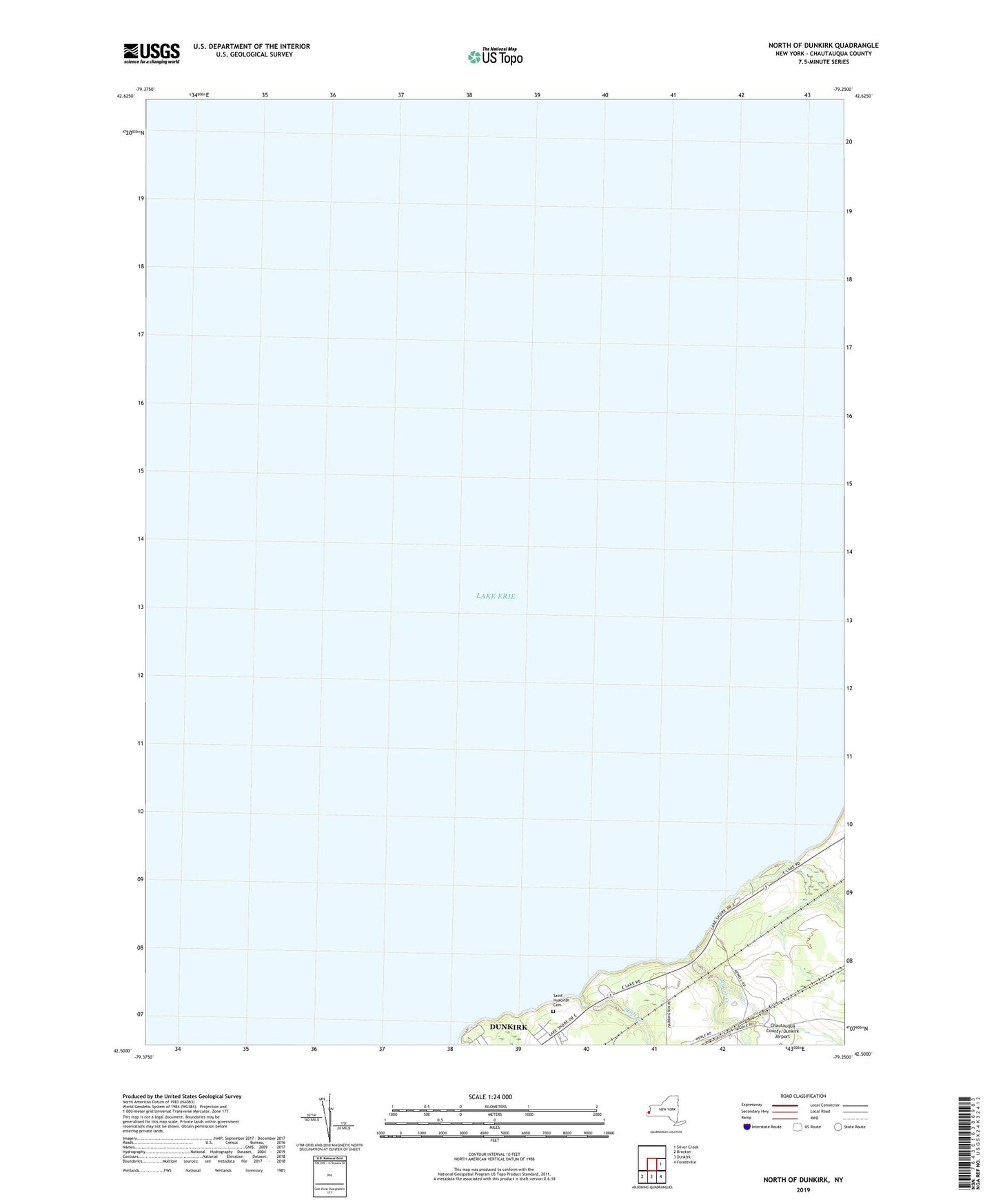
2023 topographic map quadrangle North of Dunkirk in the state of New York. Scale: 1:24000. Based on the newly updated USGS 7.5' US Topo map series, this map is in the following counties: Chautauqua. The map contains contour data, water features, and other items you are used to seeing on USGS maps, but also has updated roads and other features. This is the next generation of topographic maps. Printed on high-quality waterproof paper with UV fade-resistant inks.
Quads adjacent to this one:
East: Silver Creek
Southeast: Forestville
South: Dunkirk
Southwest: Brocton
This map covers the same area as the classic USGS quad with code o42079e3.
Contains the following named places: Beaver Creek, Dunkirk Conference Grounds, Saint Hyacinth Cemetery, Saint Hyacinth Chapel, Scott Creek