MyTopo
Panther Lake New York US Topo Map
Couldn't load pickup availability
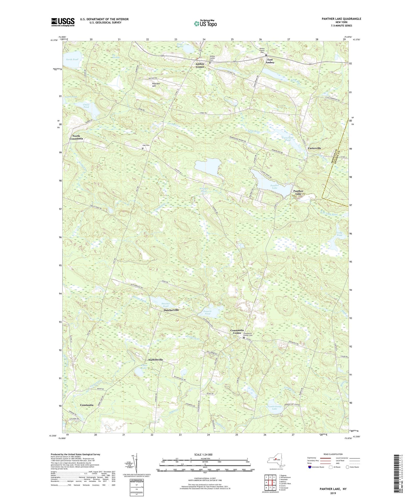
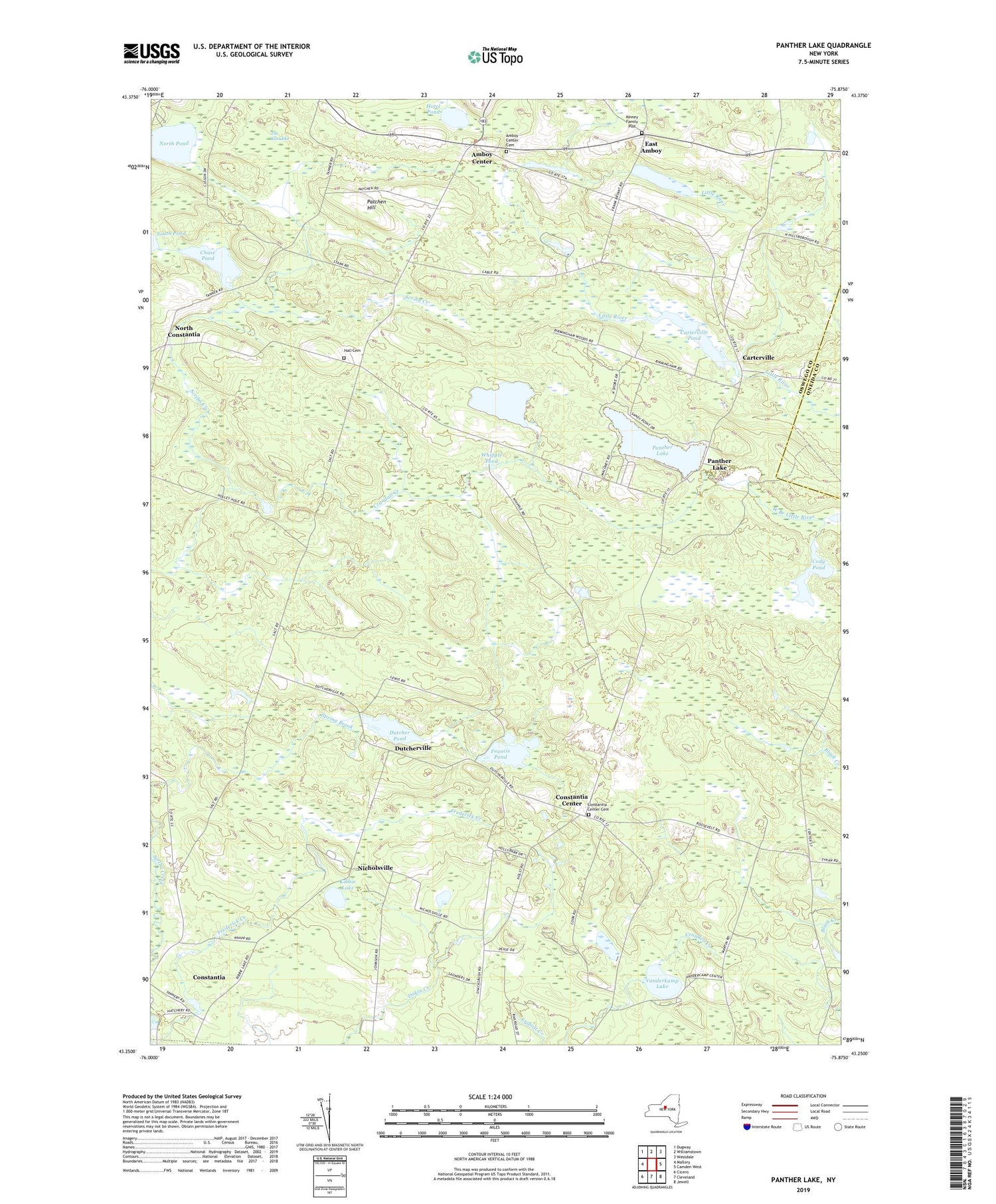
2019 topographic map quadrangle Panther Lake in the state of New York. Scale: 1:24000. Based on the newly updated USGS 7.5' US Topo map series, this map is in the following counties: Oswego, Oneida. The map contains contour data, water features, and other items you are used to seeing on USGS maps, but also has updated roads and other features. This is the next generation of topographic maps. Printed on high-quality waterproof paper with UV fade-resistant inks.
Quads adjacent to this one:
West: Mallory
Northwest: Dugway
North: Williamstown
Northeast: Westdale
East: Camden West
Southeast: Jewell
South: Cleveland
Southwest: Cicero
Contains the following named places: Amboy Center, Amboy Center Cemetery, Amboy Town Hall, Butler Lake, Camp Woodland, Carroll Corners, Carterville, Carterville Pond, Chase Pond, Cody Pond, Constantia Center, Constantia Center Cemetery, Constantia Center Independent Baptist Church, Crandall Creek, Dutcher Pond, Dutcherville, East Amboy, Francis Pond, Frederick Creek, Hall Cemetery, Halls Corners, Holly Park Mobile Home Park, Hotel Pond, Jamieson Corners, Kibbie Lake, Kinney Cemetery, Nicholsville, North Constantia, North Pond, Panther Lake, Patchen Hill, School Number 1, School Number 10, School Number 12, School Number 13, School Number 2, School Number 4, School Number 5, School Number 7, School Number 8, The Klondike, Town of Constantia, Vanderkamp Lake, Whipple Pond, ZIP Codes: 13028, 13044